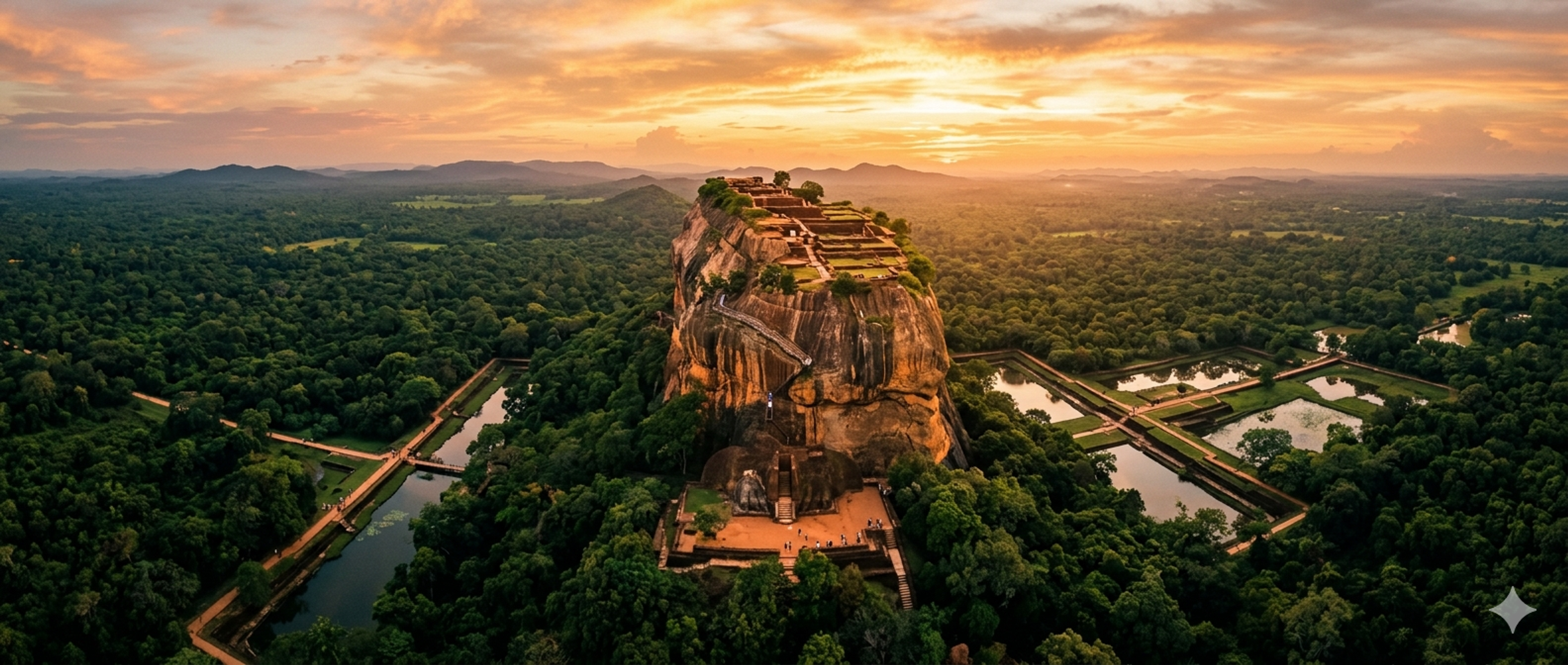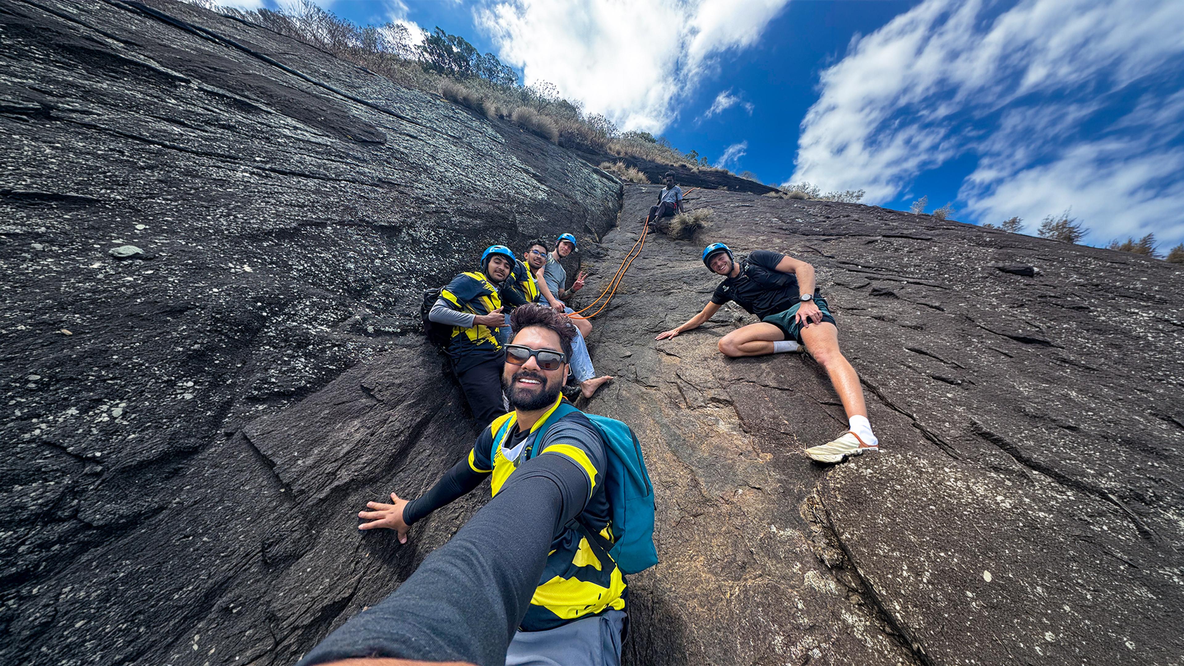
Lakegala is not an easy mountain. It is the only peak in the Knuckles Range where you need real rock climbing skills to reach the top, and even locals call it "Lanka Gala," the Rock of Lanka. I first climbed it in 2017 with my scouting friends. This July, almost nine years later, I went back with a team of six and our village guide, right after Meemure was cut off from the rest of the country for months. This is that story, and everything you need to know if you want to do this hike yourself.
What happened to Meemure before we went
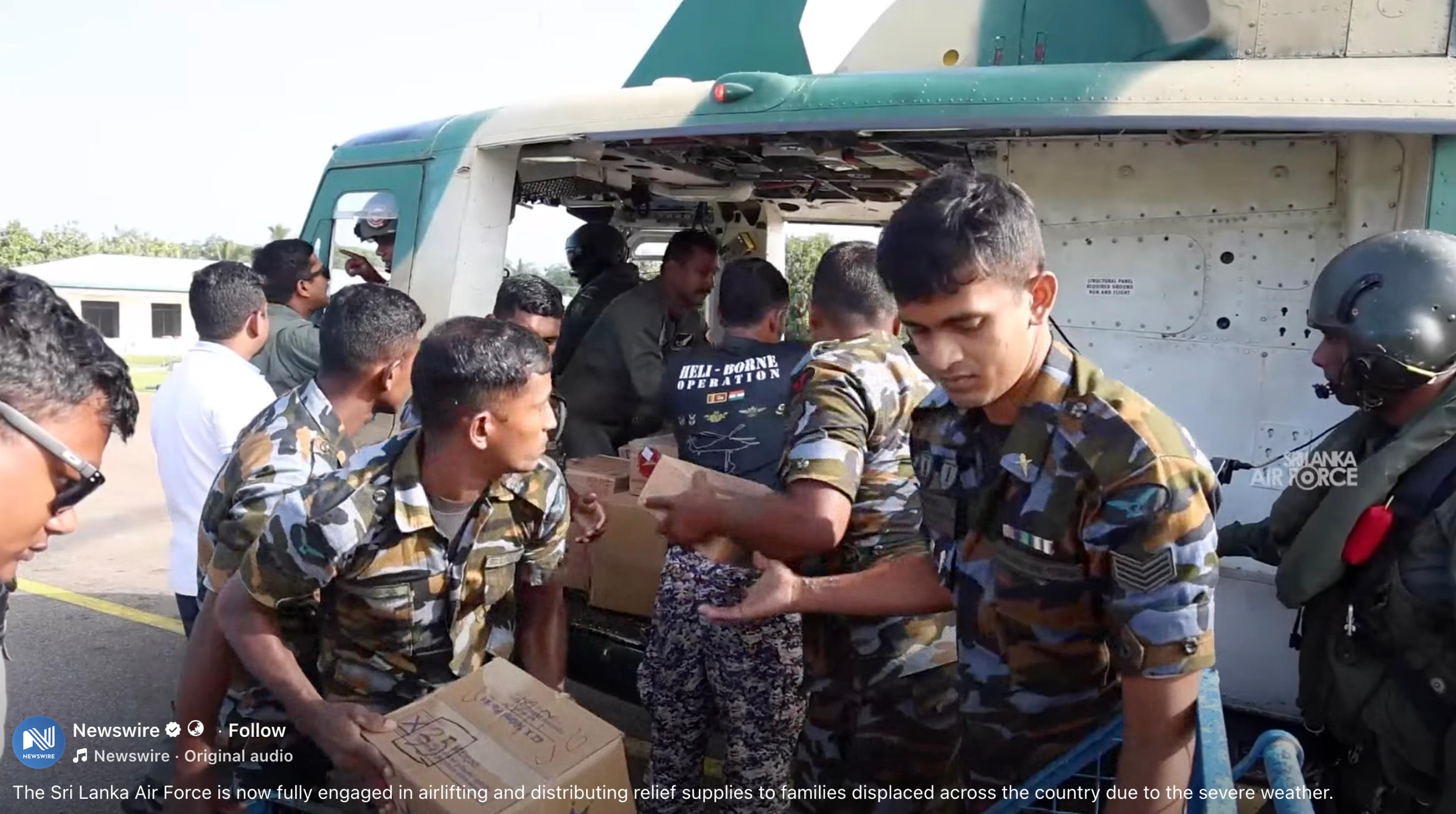
At the end of November 2025, Cyclone Ditwah hit Sri Lanka. It was not a strong cyclone by wind speed, but it dropped extreme rainfall over the central highlands in a very short time. Kandy district, where Meemure sits, was one of the worst affected areas in the whole country. Roads disappeared under landslides, rivers rose fast, and hundreds of people across the island lost their lives. Hill villages like Meemure, Elkaduwa, and others in the Knuckles region got cut off completely. The Sri Lanka Air Force and Indian Navy helicopters, brought in under a joint relief operation, were dropping food and supplies to villages that had no other way to get anything in.
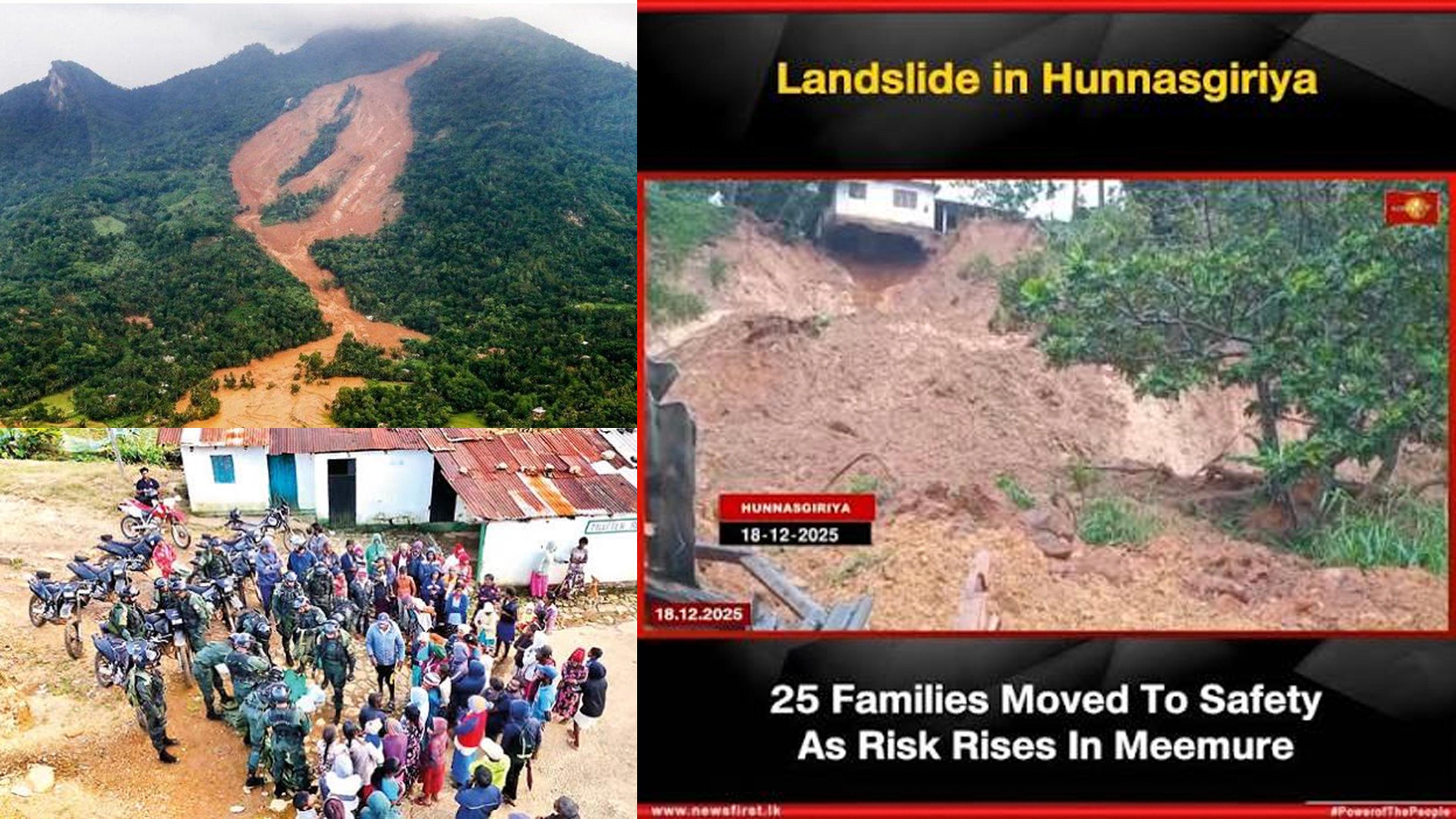
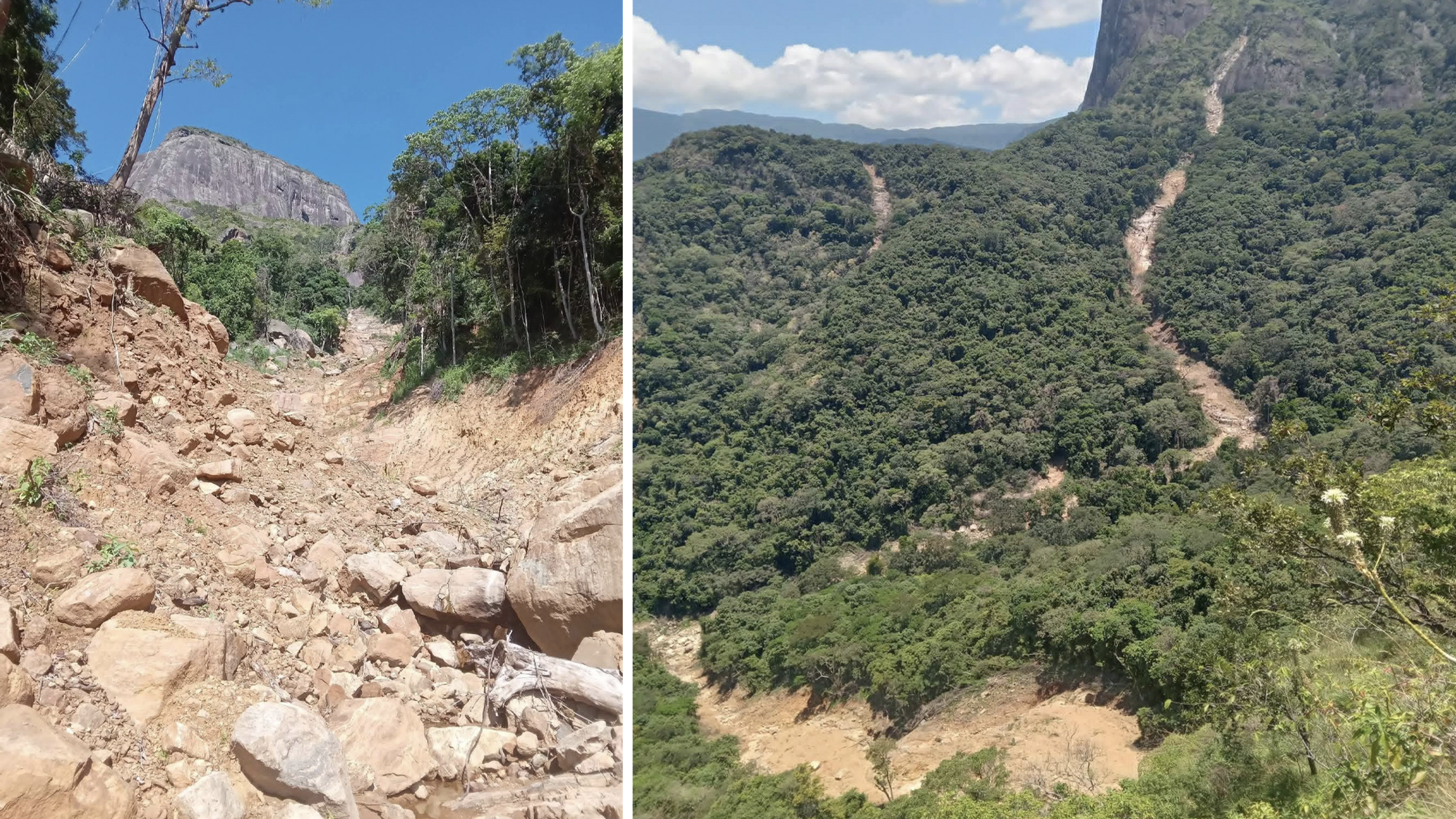
Meemure was one of those villages. The road connecting it to Hunnasgiriya, the closest main town, had landslides at around 56 different spots. For weeks, the only way to get food and essentials into the village was by helicopter.
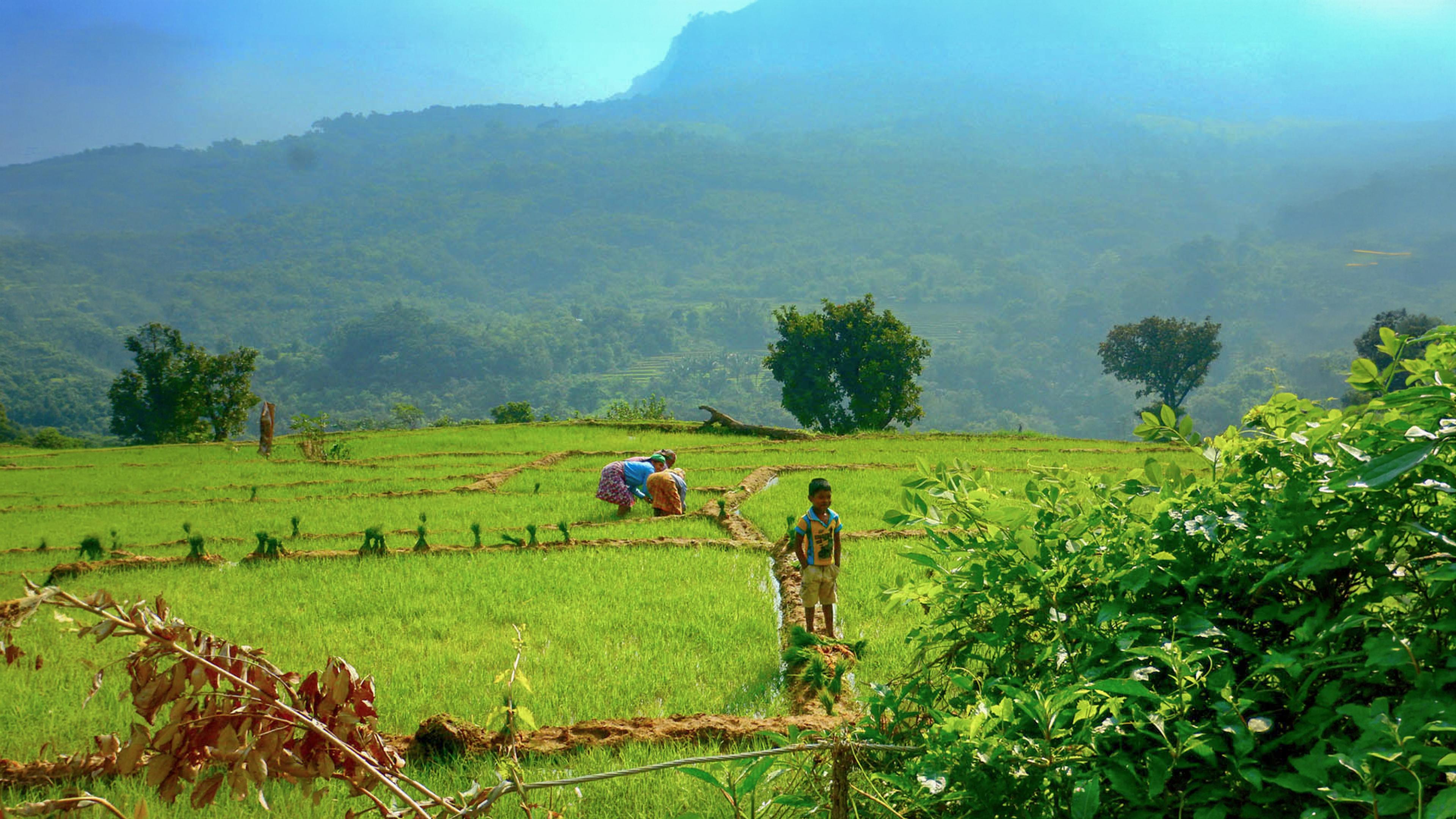
What struck me most, when I heard the stories later, is that Meemure survived this better than a lot of other places, because the village has been through this before. Meemure people went back to how they lived before tourism came to the area. They grew their own vegetables and rice, and lived off what the land gave them, just like they always did before outsiders started visiting for the hikes and the waterfalls. A lot of families in villages like this one had shifted toward tourism and moved closer to towns over the years. But the ones who stayed in Meemure knew how to survive without the outside world, and that is exactly what they did.
By April 2026, the government, local authorities, and volunteers had repaired the road to a manageable level. It was not fully fixed, but you could drive it if you knew what you were doing and had the right vehicle. That is when we started planning this trip.
The midnight drive in
We started our ride at the end of July, close to midnight. I have an off-road vehicle, so I was confident we could handle whatever the road threw at us. We reached Hunnasgiriya first, the closest main town to Meemure, about 35 kilometers from the village itself. We stopped there to buy essentials, get cash from an ATM, and fill up the tank. From Hunnasgiriya, there is no going back for fuel or supplies.
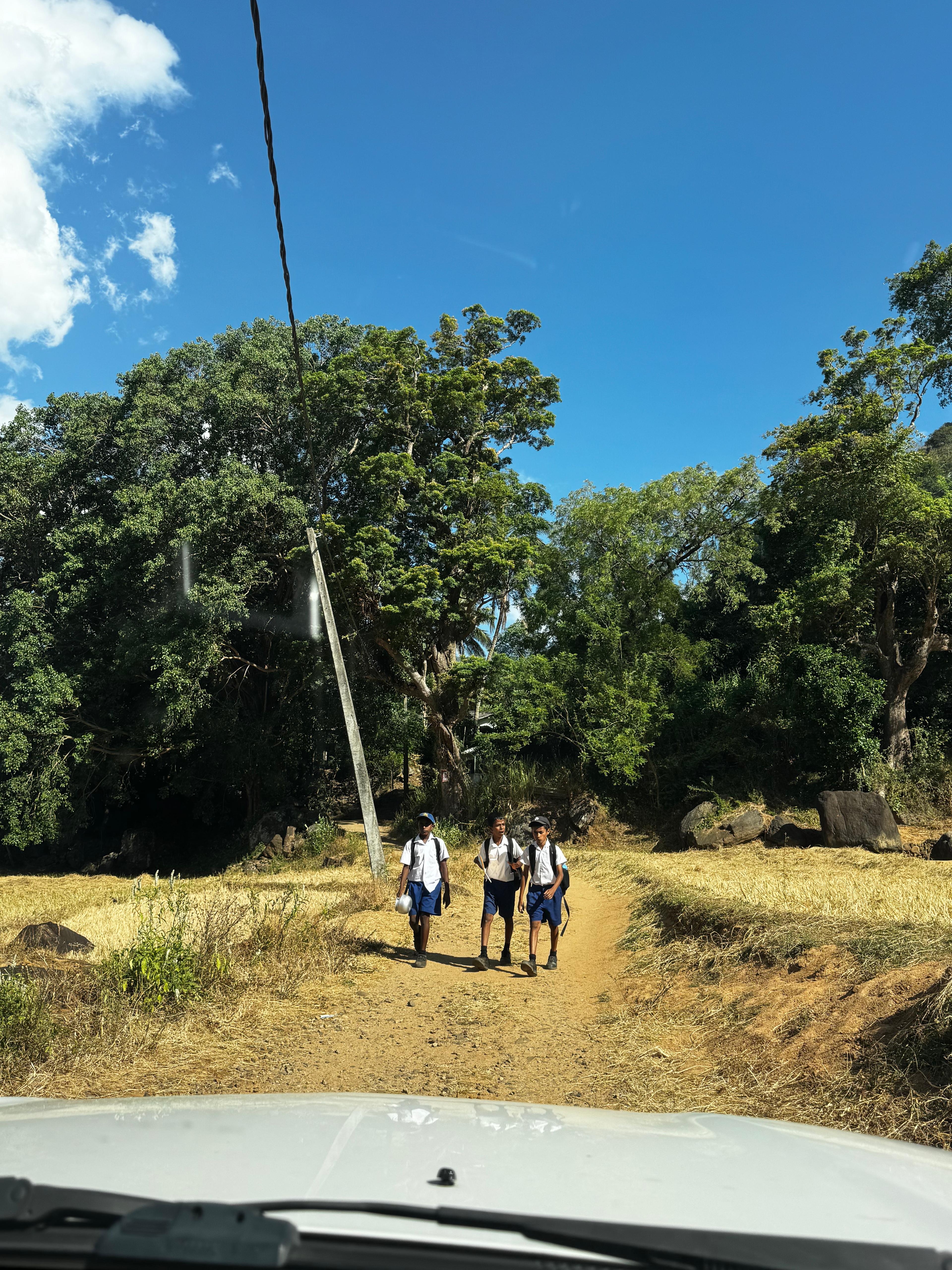
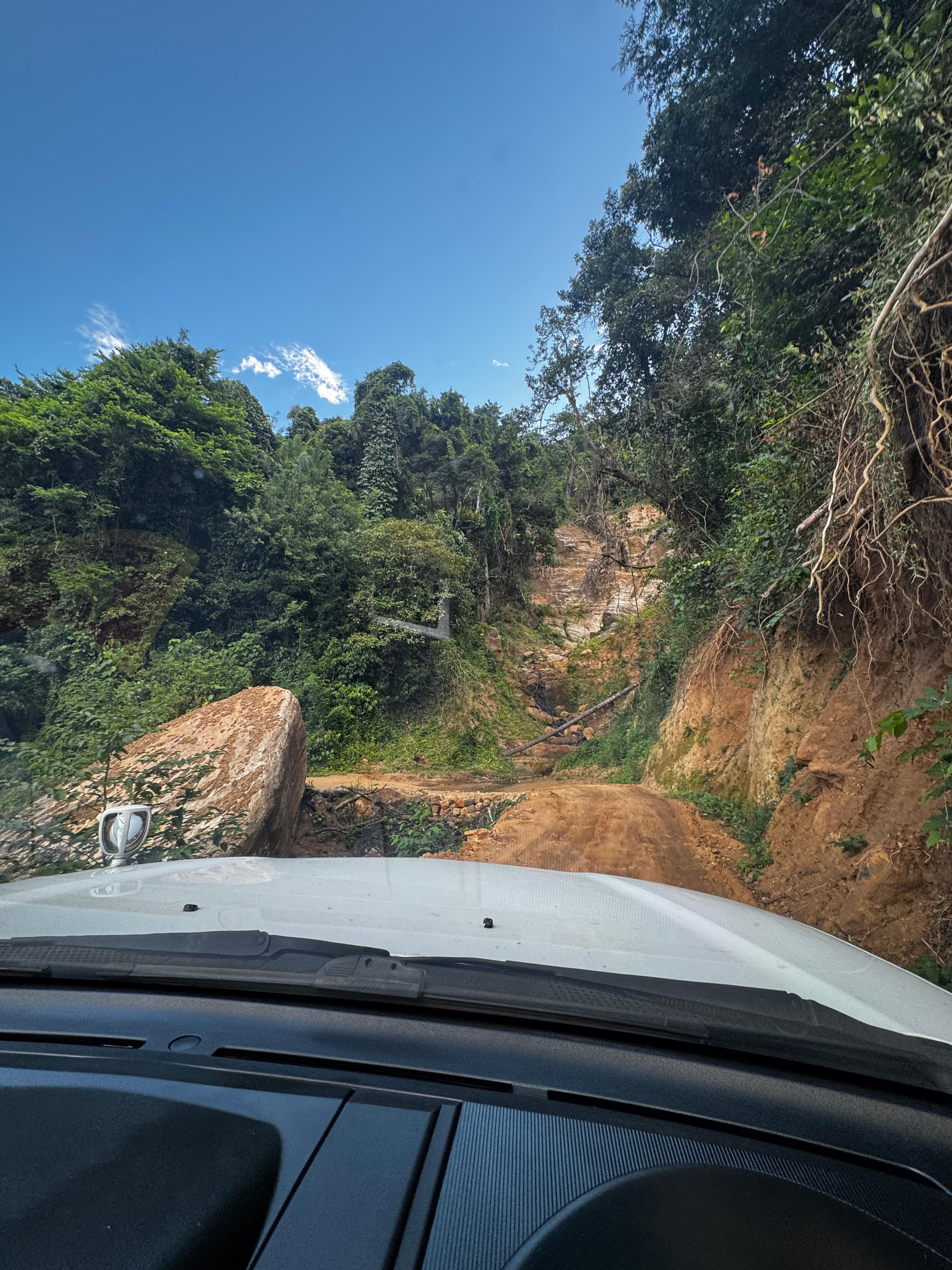
We started the actual drive into Meemure around 8 PM. It was dark and misty. I had not been on this road in months, and everything felt different. The road itself is barely a strip now, just a narrow carpet of track with grass and small trees growing in from both sides, because so few vehicles have used it since the cyclone. We kept hitting stones sitting in the middle of the road. Some bridges were still damaged. A few of the narrow passages we used to drive through in 2017 and before were simply gone now, washed away completely. With our headlights only showing so much, we could not see the full scale of what was around us. We just kept going.
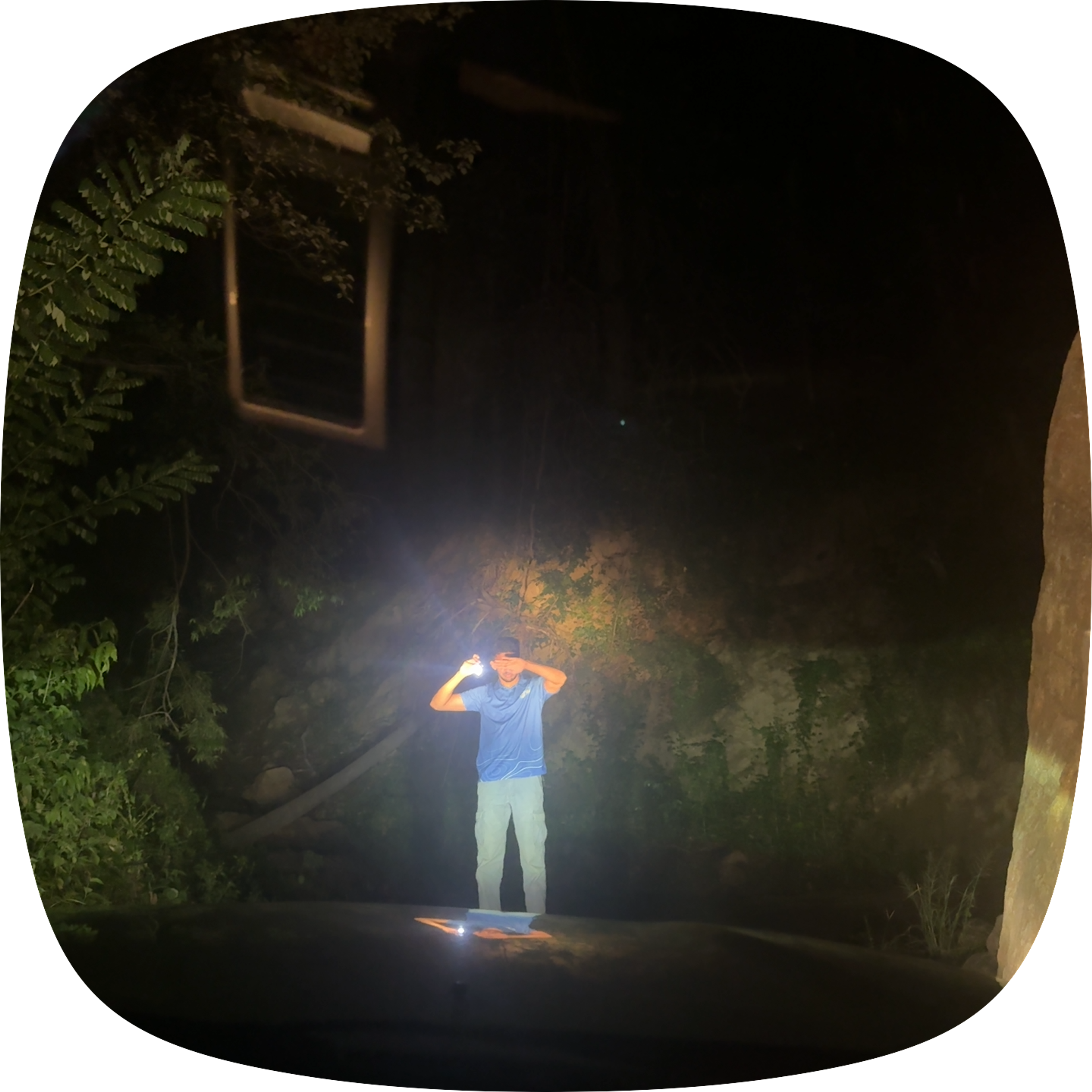
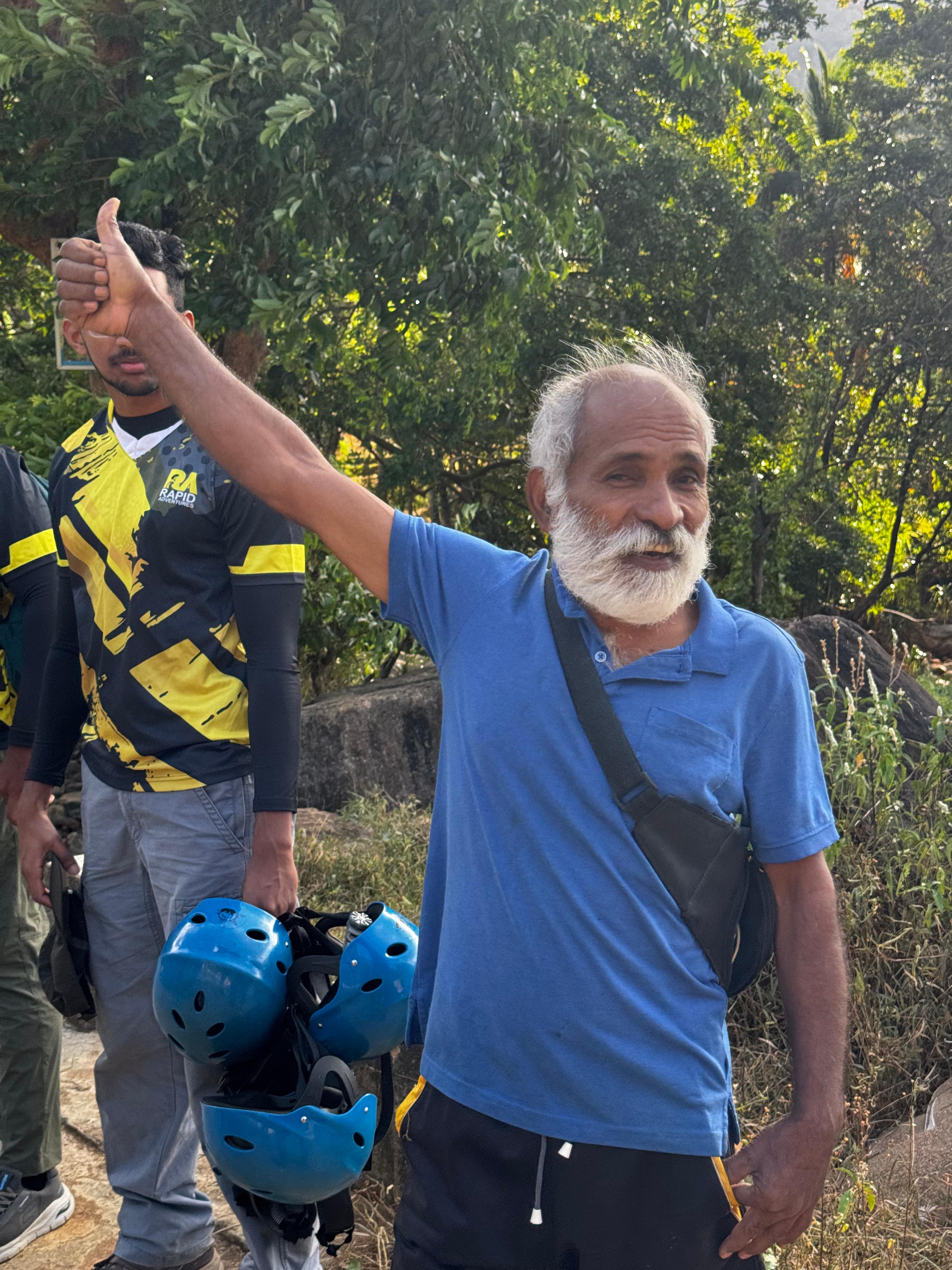
We reached our homestay around 11 PM. Navarathna uncle, our lead facilitator in Meemure and someone Rapid Adventures has worked with for years, had dinner ready for us. We ate, talked a little about the road, and went straight to sleep.
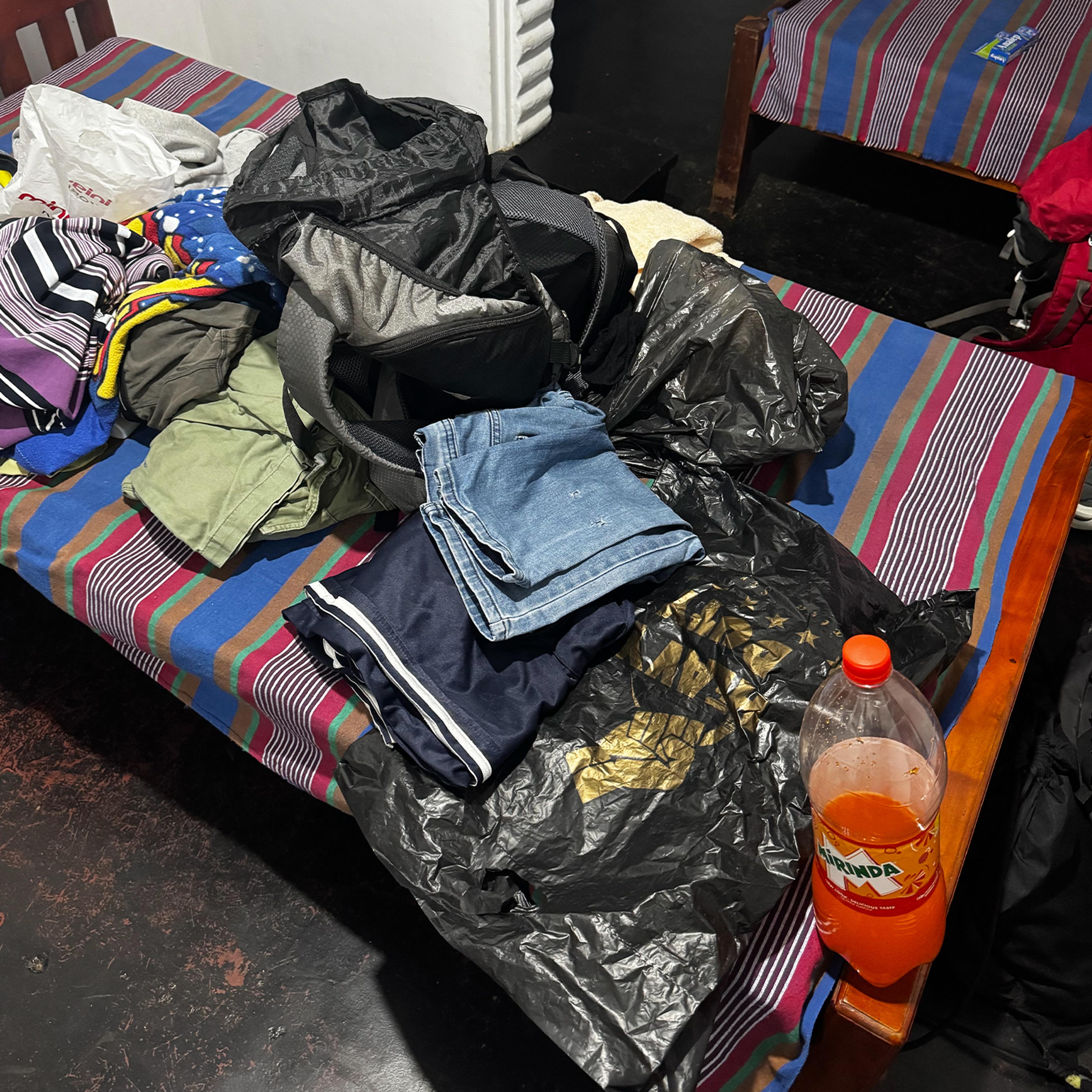
Morning, before the climb
We woke up around 5 AM, got ready, and packed our gear for the hike. Breakfast was at 6. As a village tradition, we did not eat any meat before the hike. You are entering nature, and this is how the local guides and villagers approach it. It is a small thing, but it sets the tone for the day.
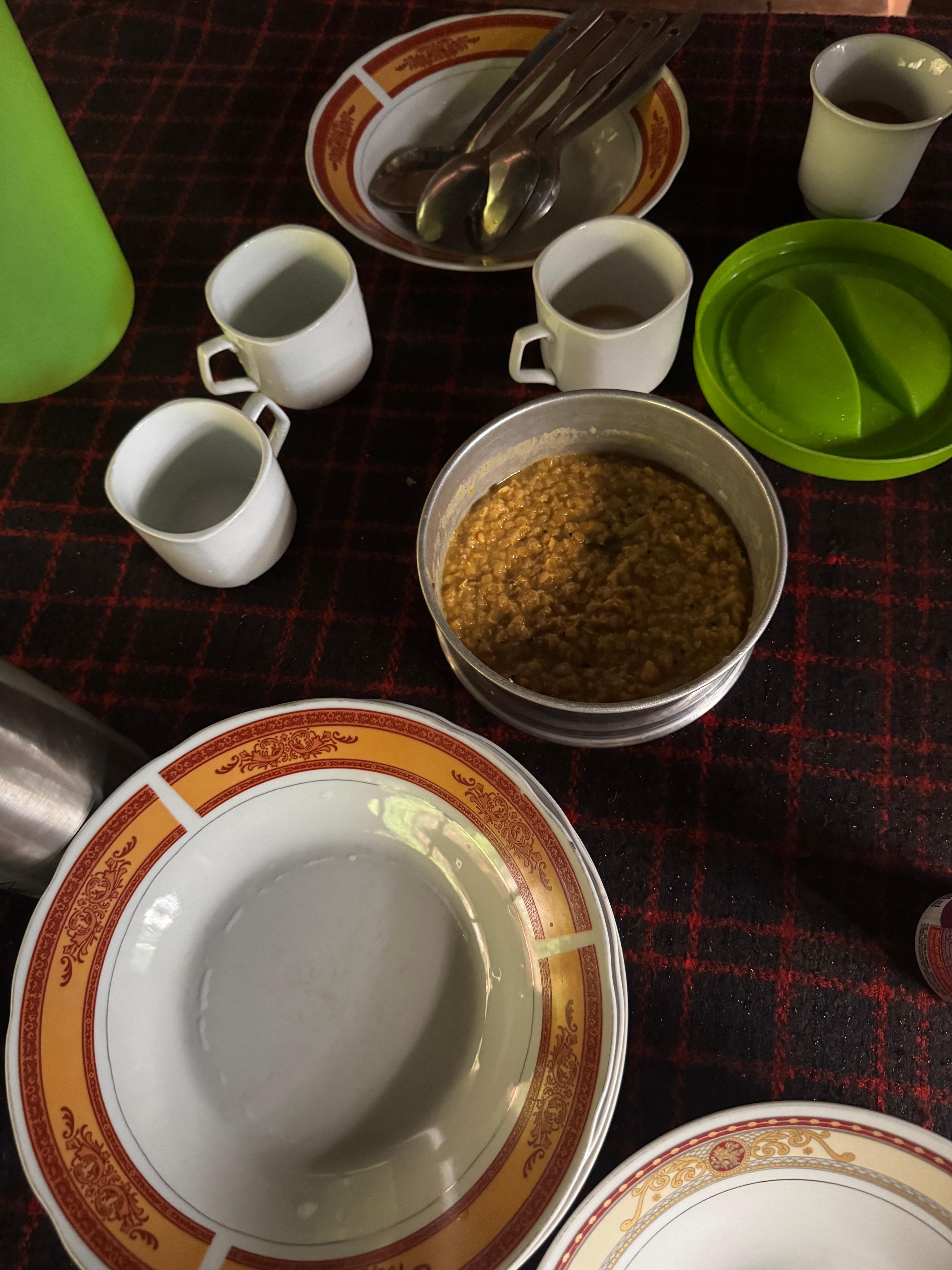
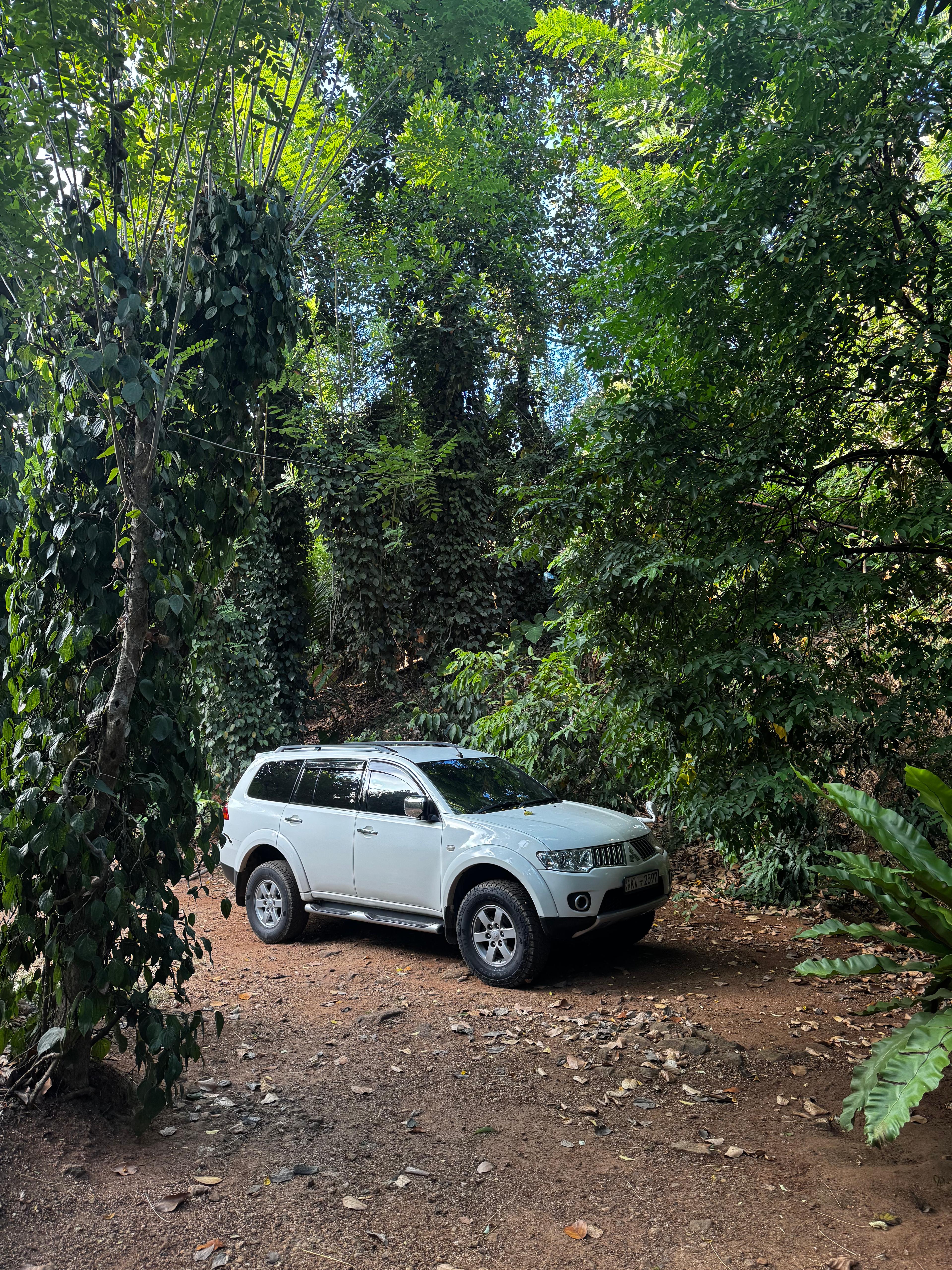
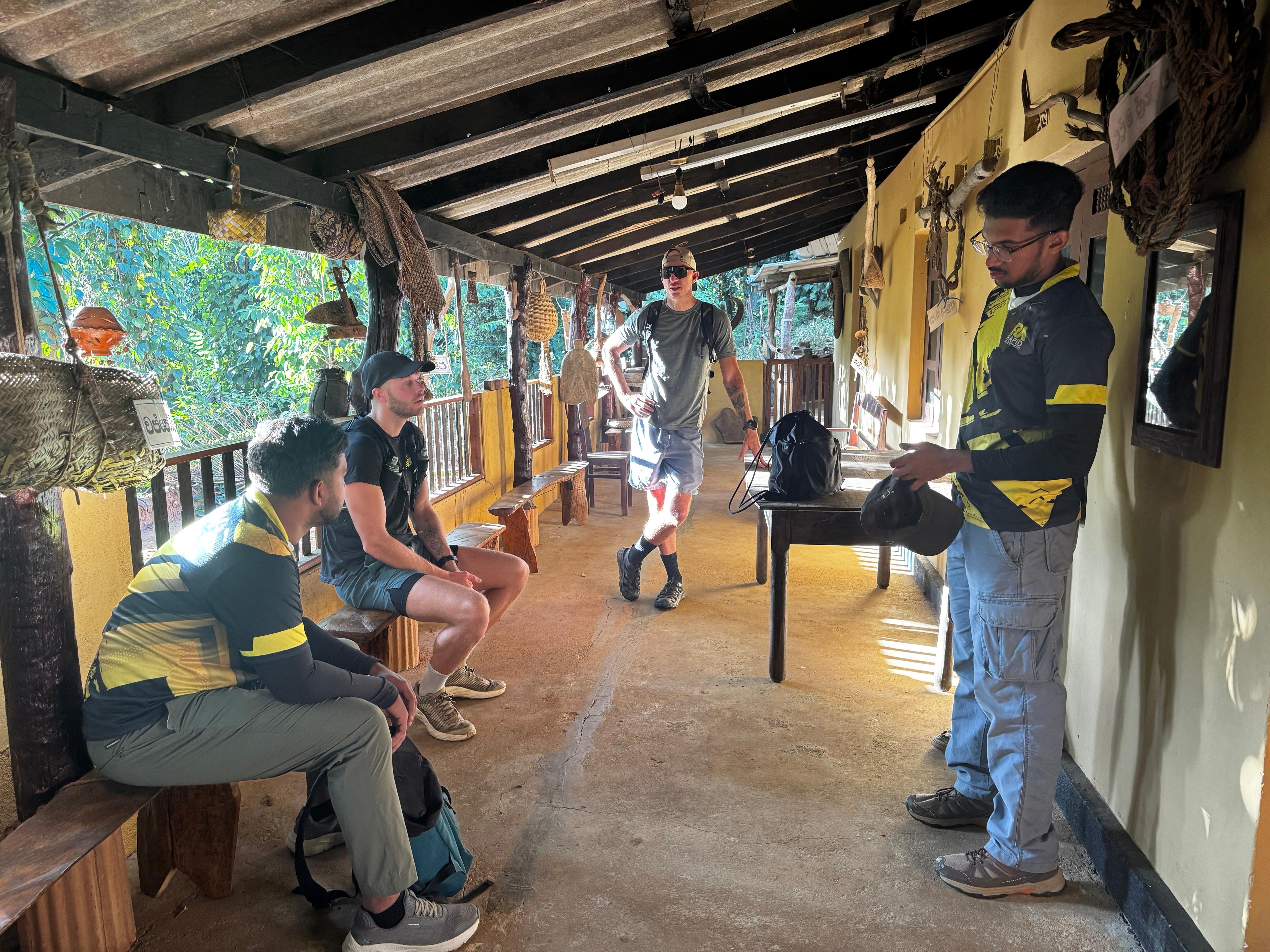
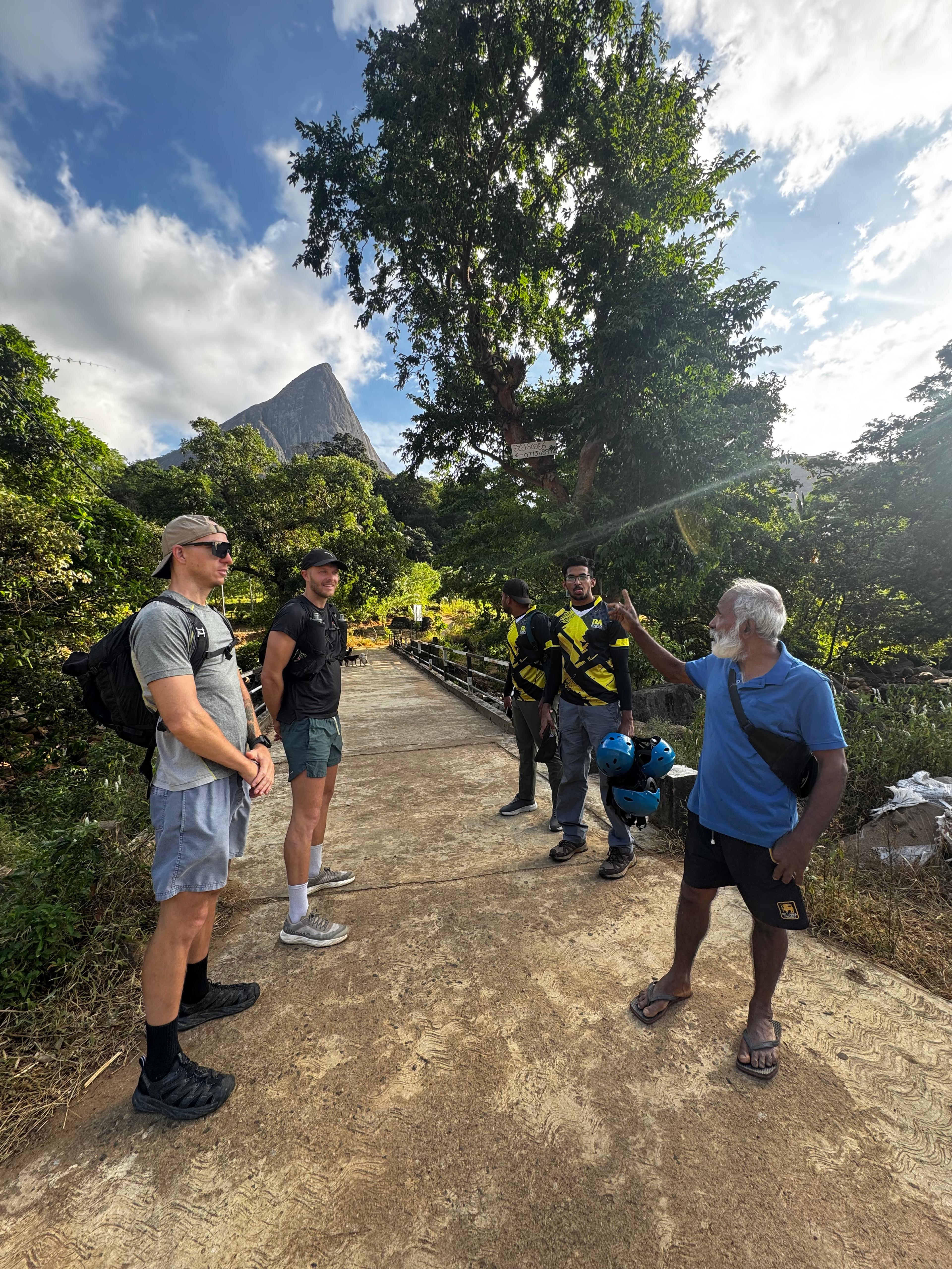
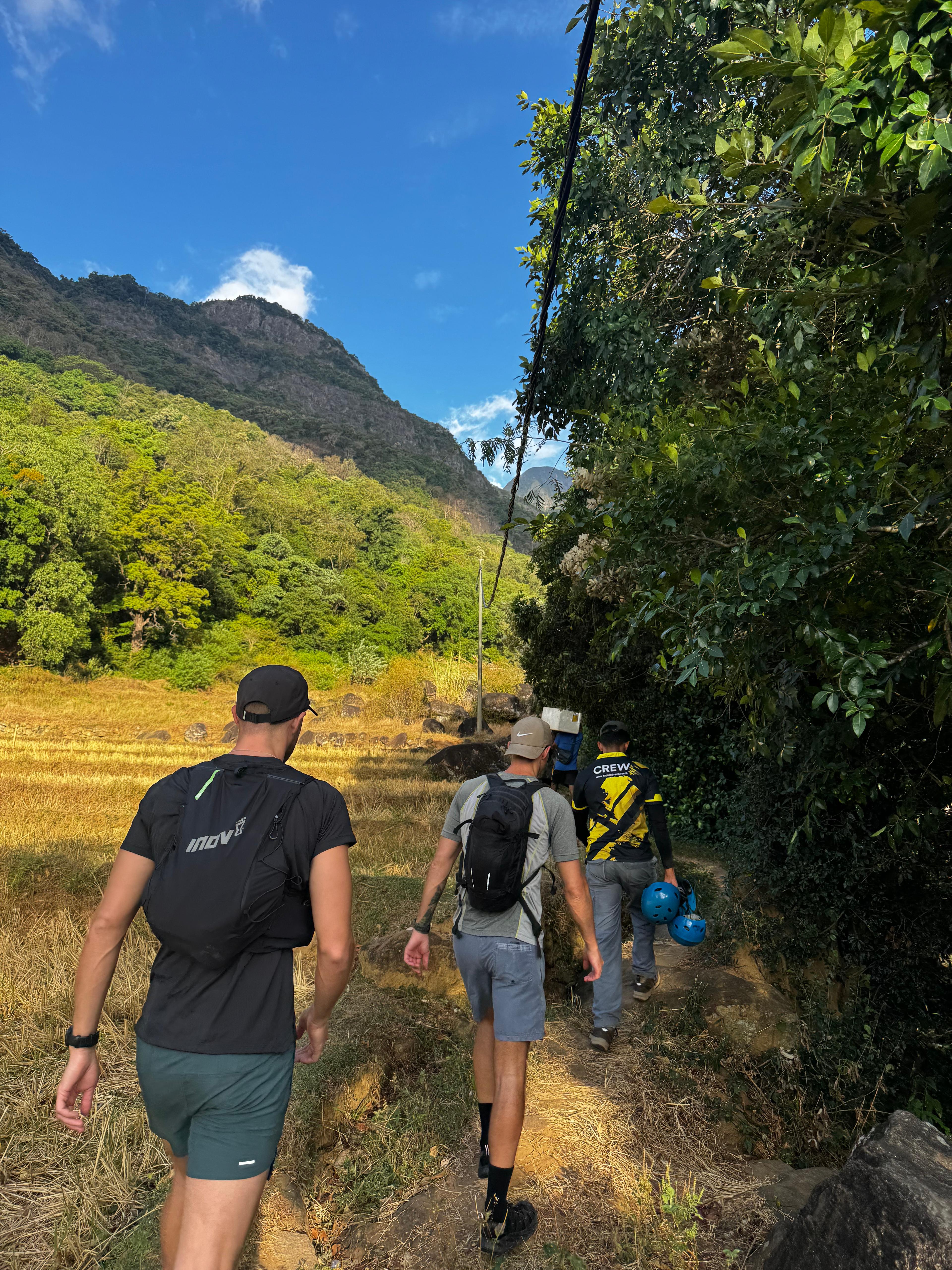
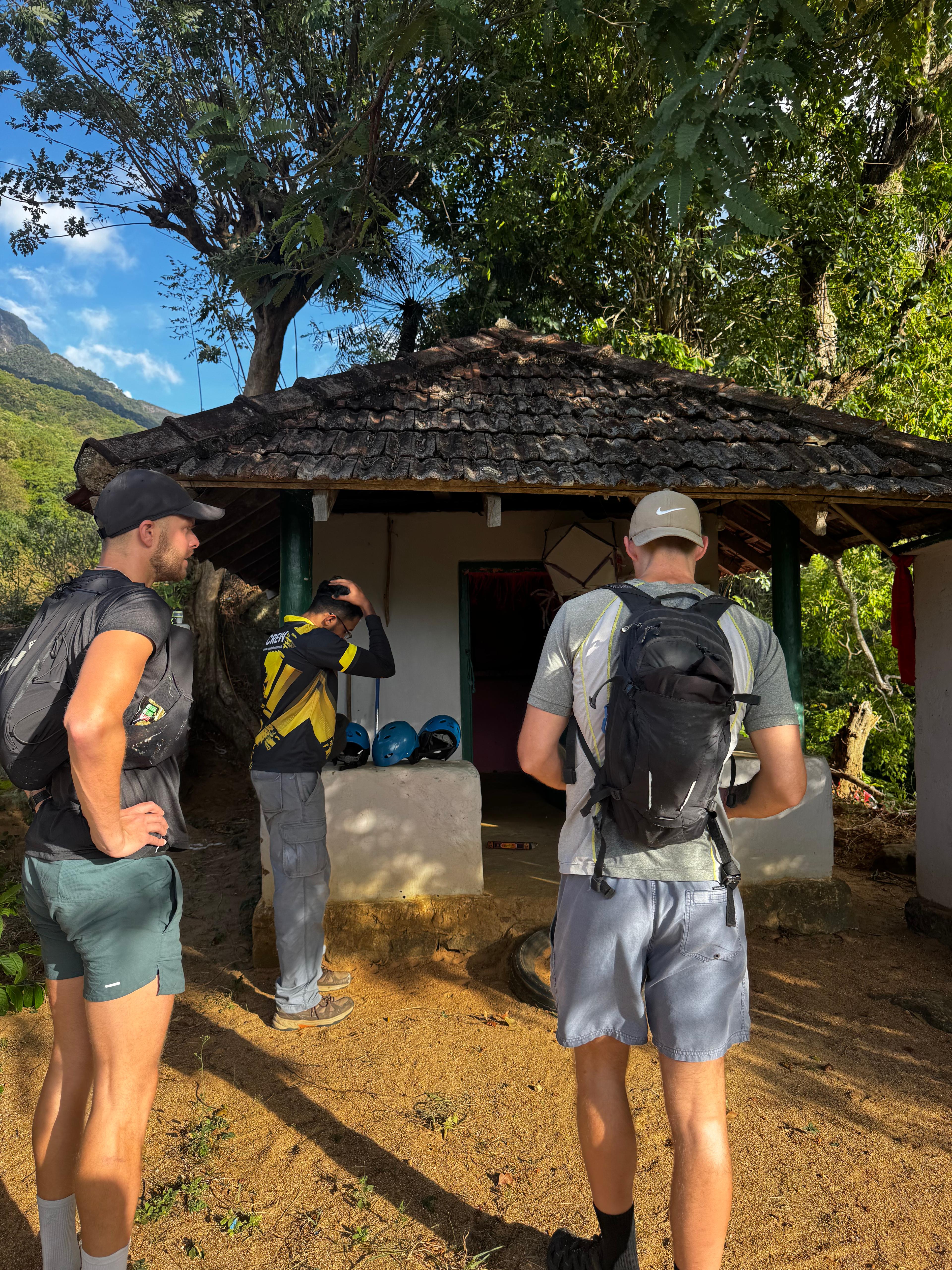
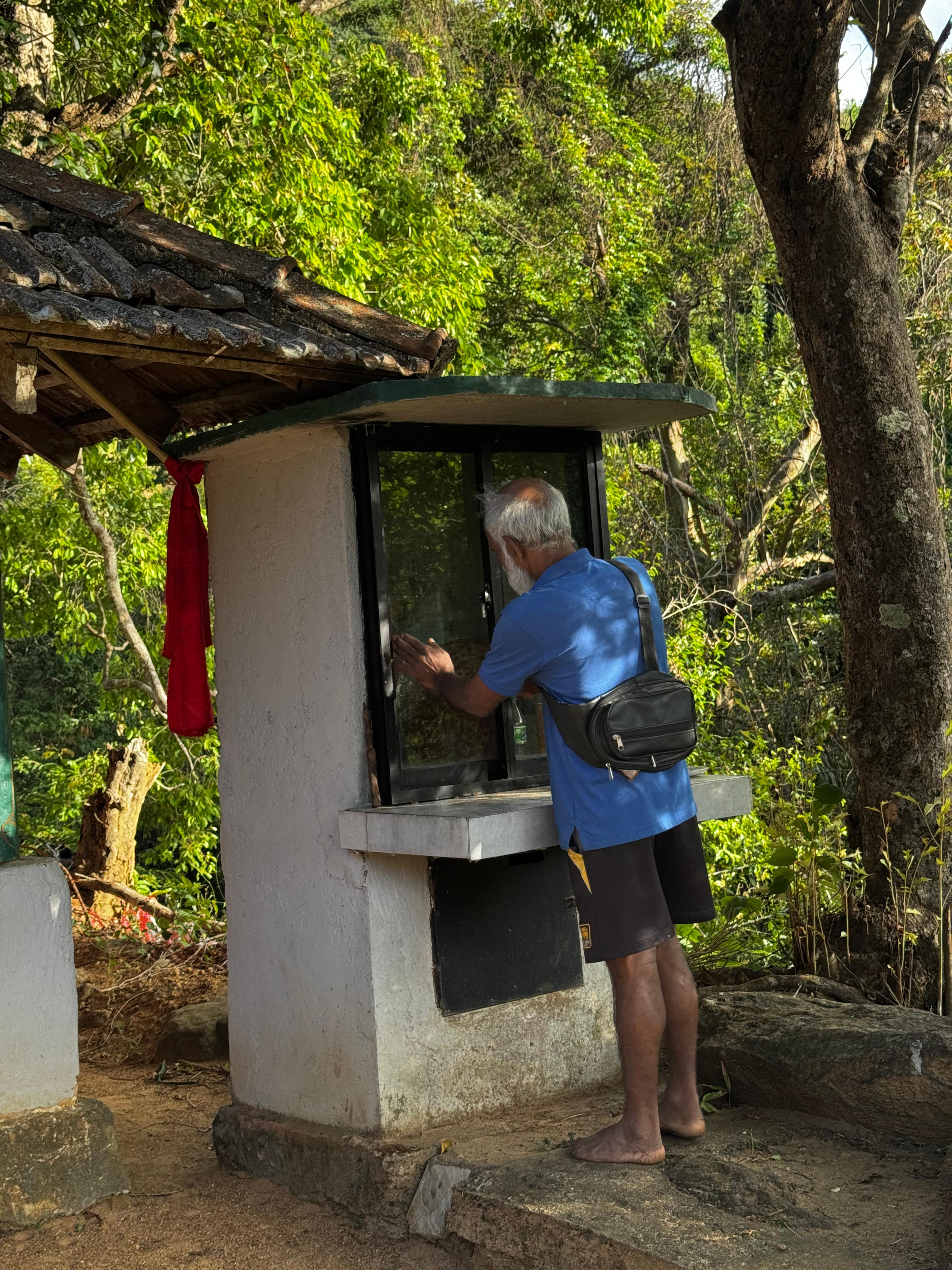
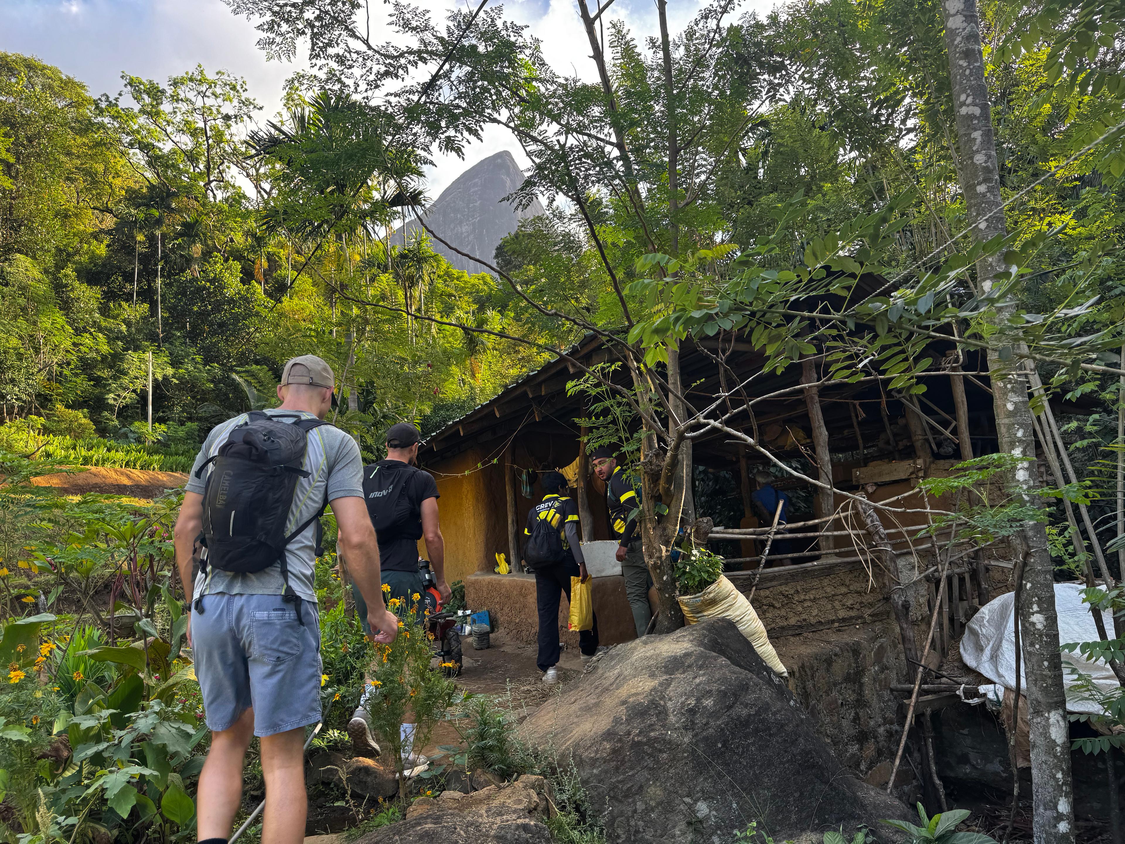
After breakfast, we drove down to the paddy field area in Meemure and parked the vehicle there. We took some photos, then walked to the small temple nearby. We asked for blessings and a safe return before setting out, the way most people here do before a Lakegala climb.
Into the changed forest
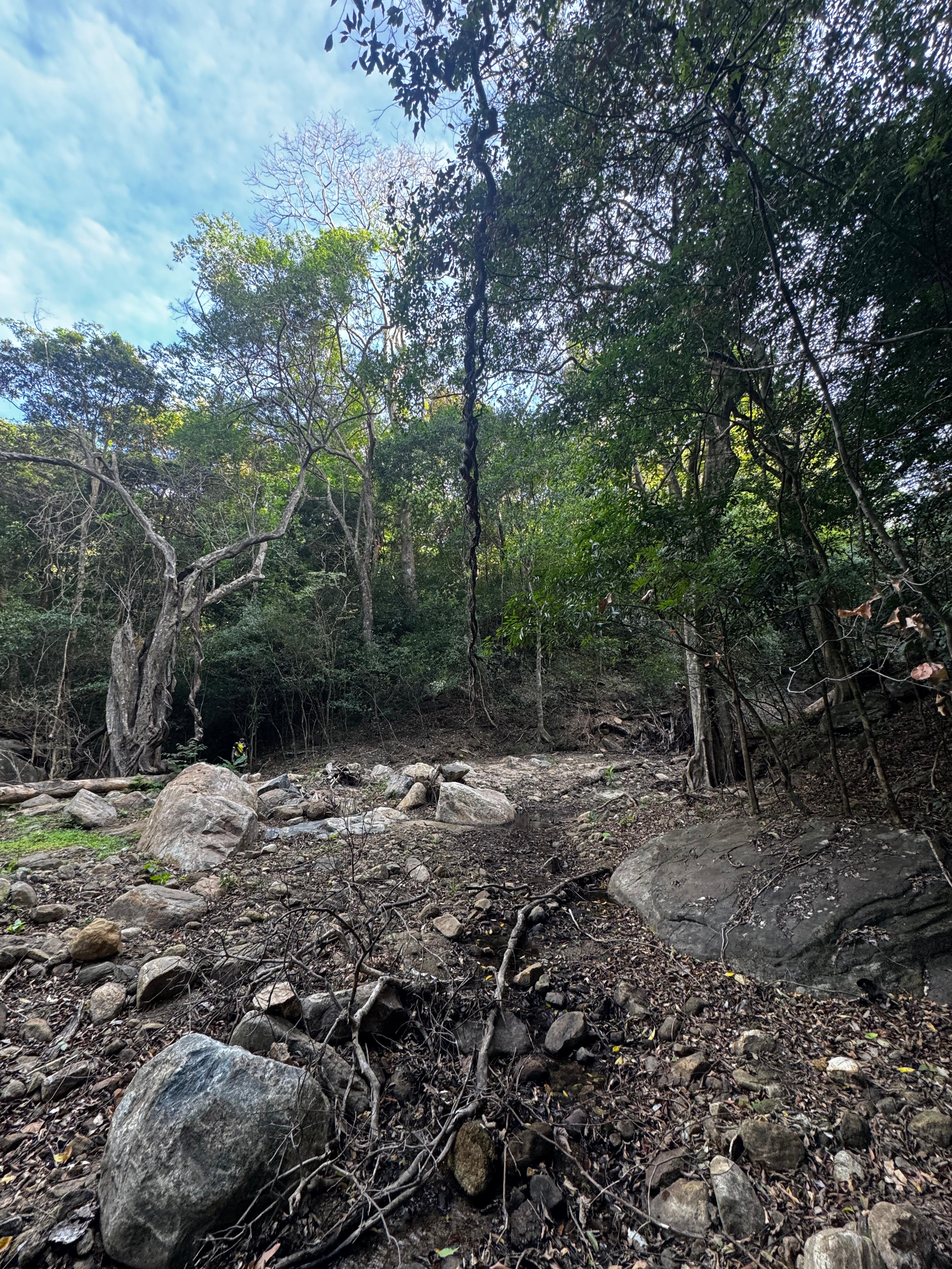
We started the hike from the campsite area at 7:30 AM. The forest looked different from what I remembered. Some of the old water lines were completely dry, and water was flowing through new paths that did not exist before. It was a very warm day and most of the lakes and pools along the trail were empty.
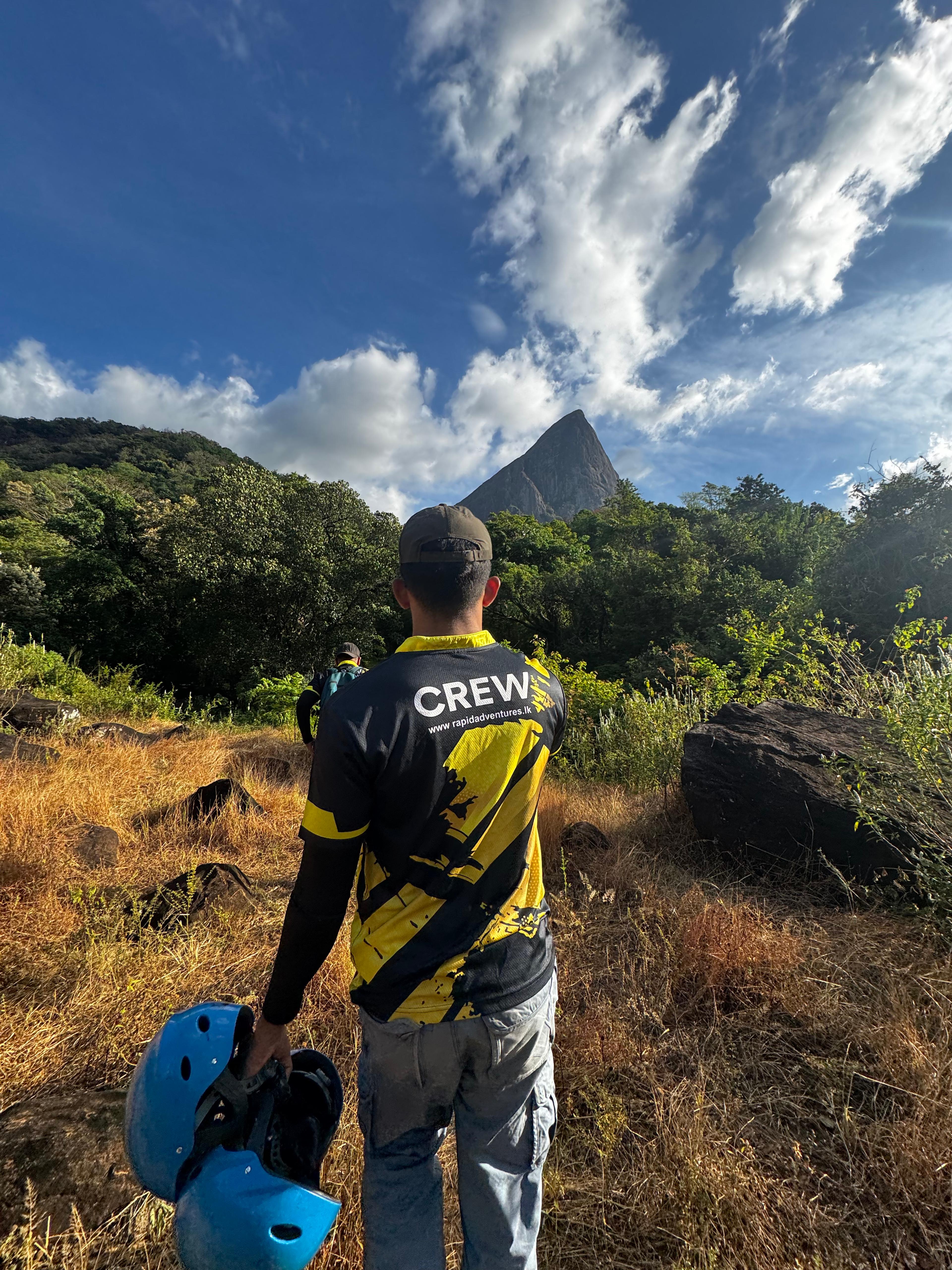
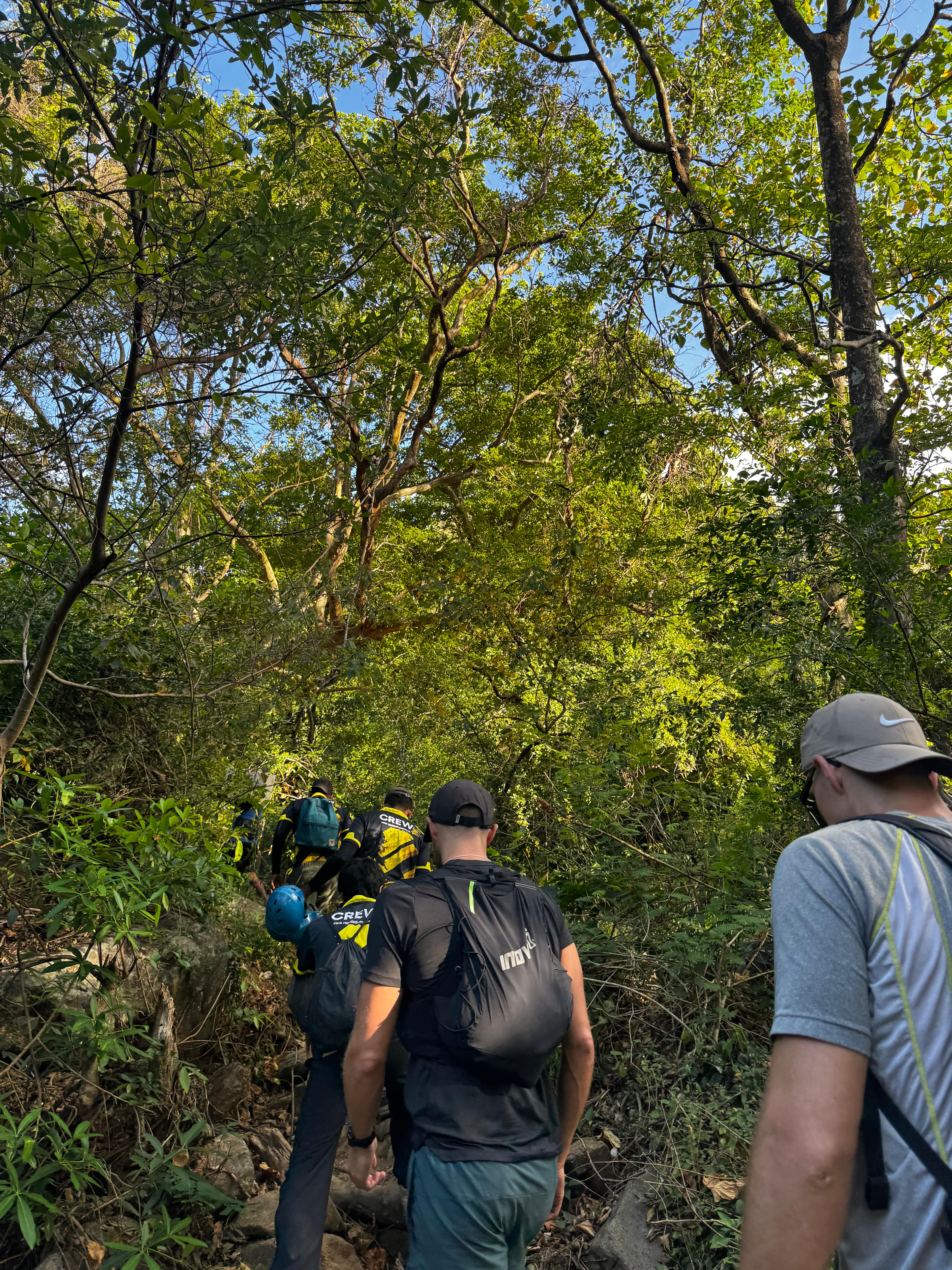
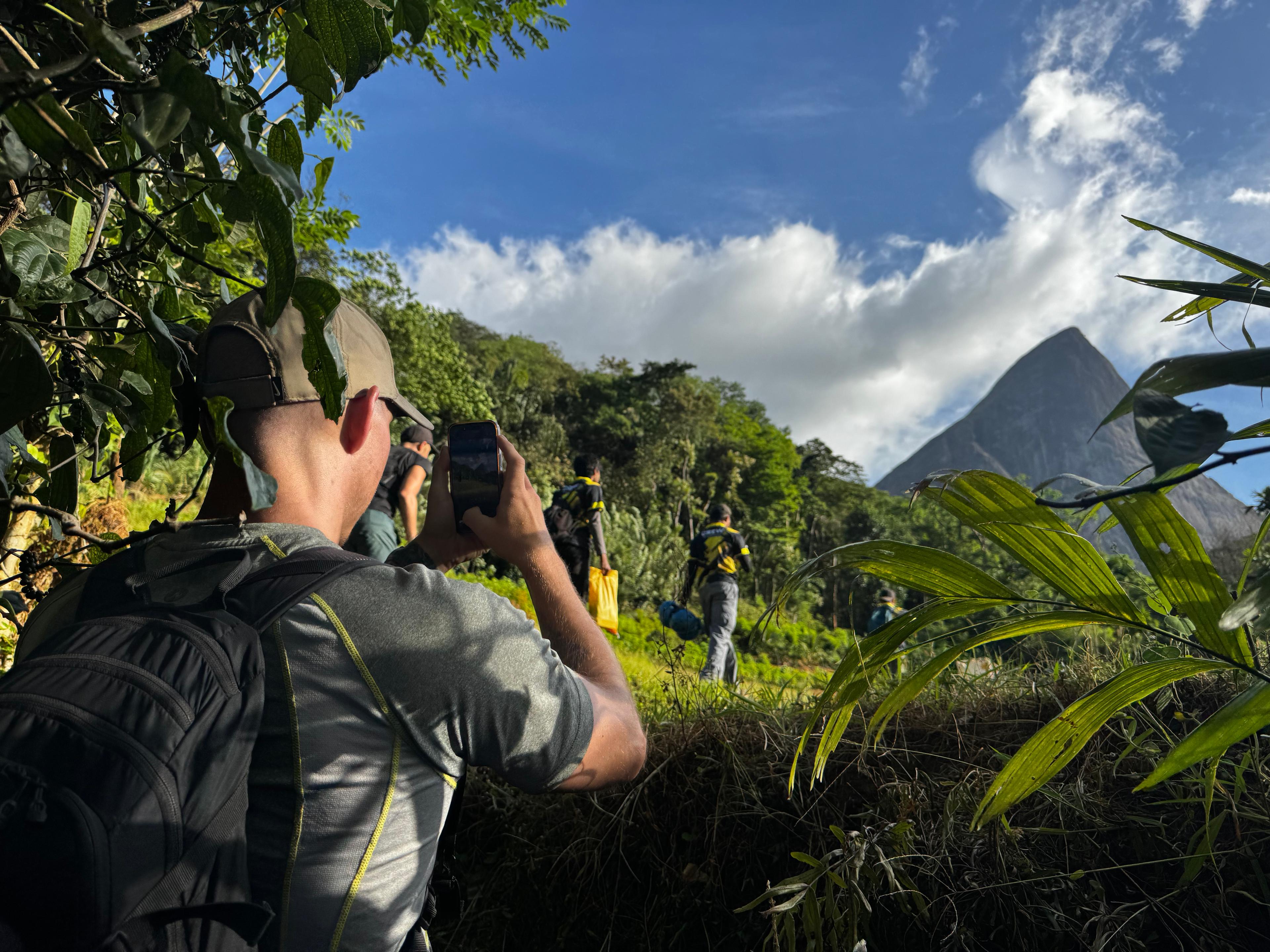
As we walked further, we could see the marks Cyclone Ditwah left behind. Water lines were visible high up on tree trunks and rocks, showing how far the flooding had reached. Large trees had been ripped out and carried away. Big open areas had appeared where dense forest used to stand. It was hard to look at. The forest took real damage, and you could feel it as you walked through.
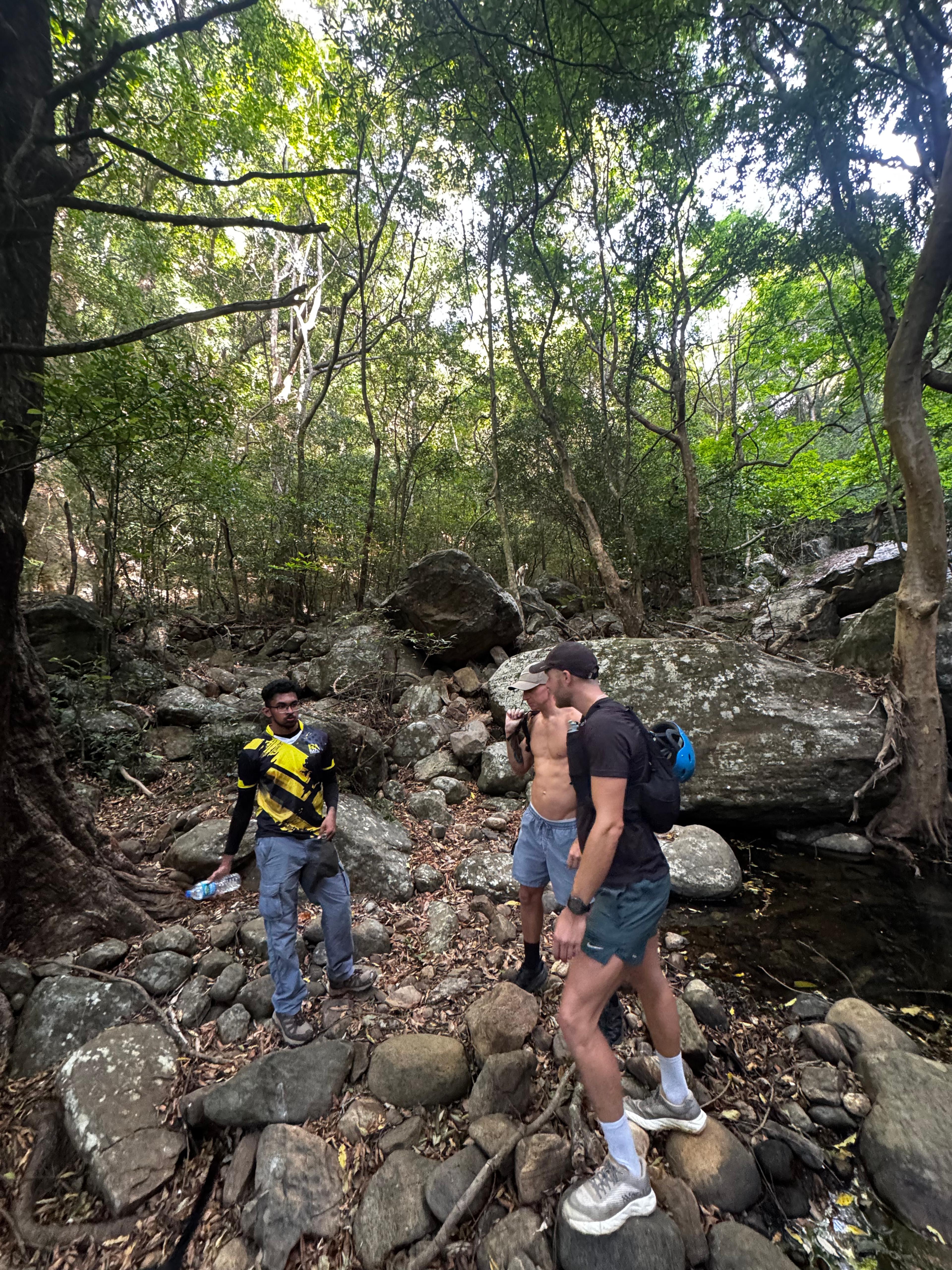
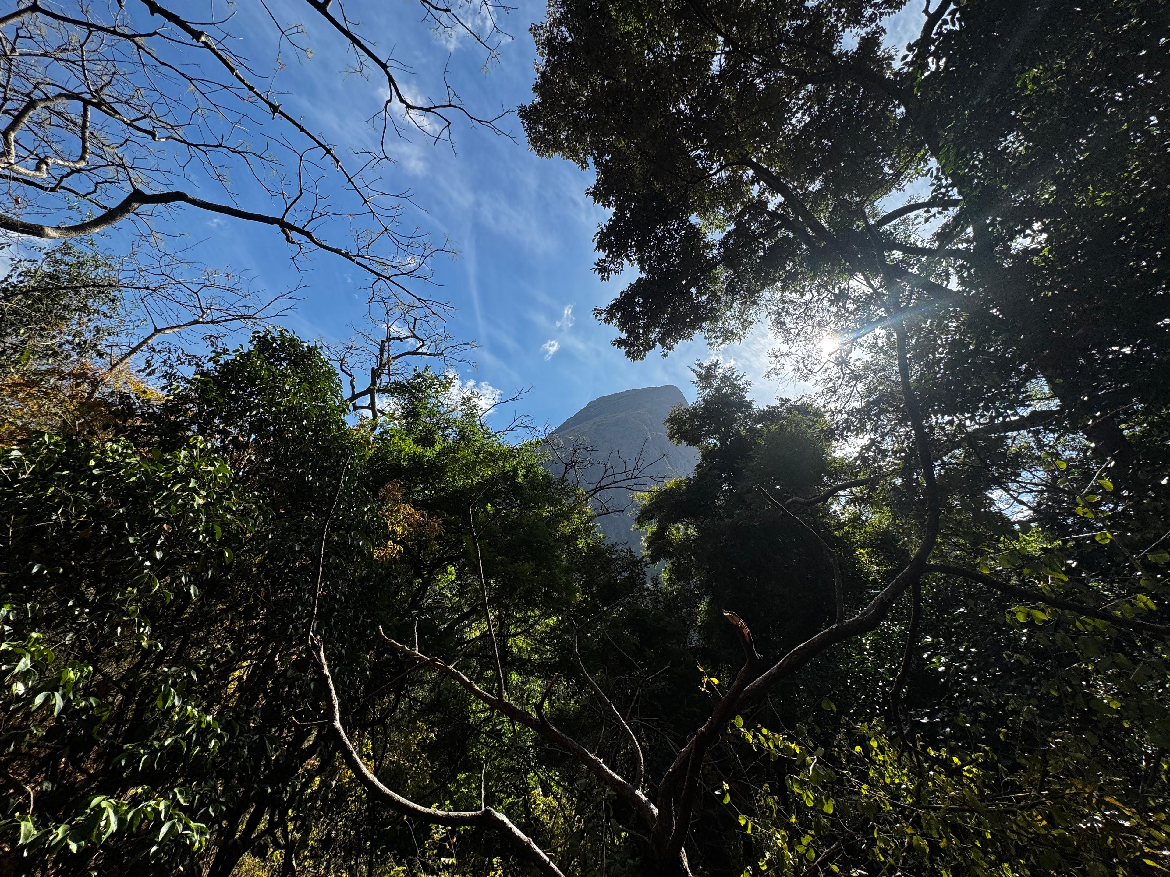
We reached the base of Lakegala at 8:30 AM.
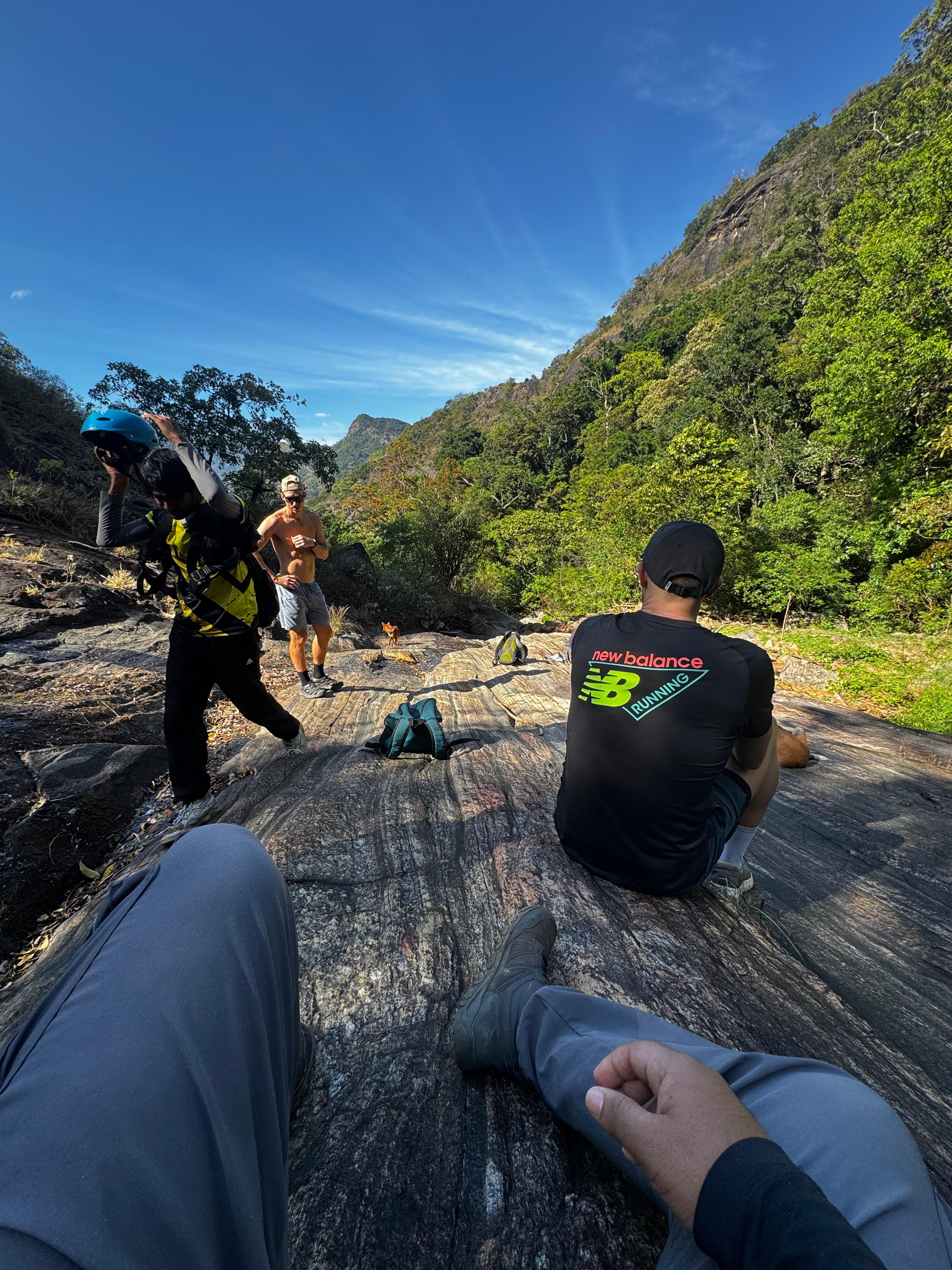
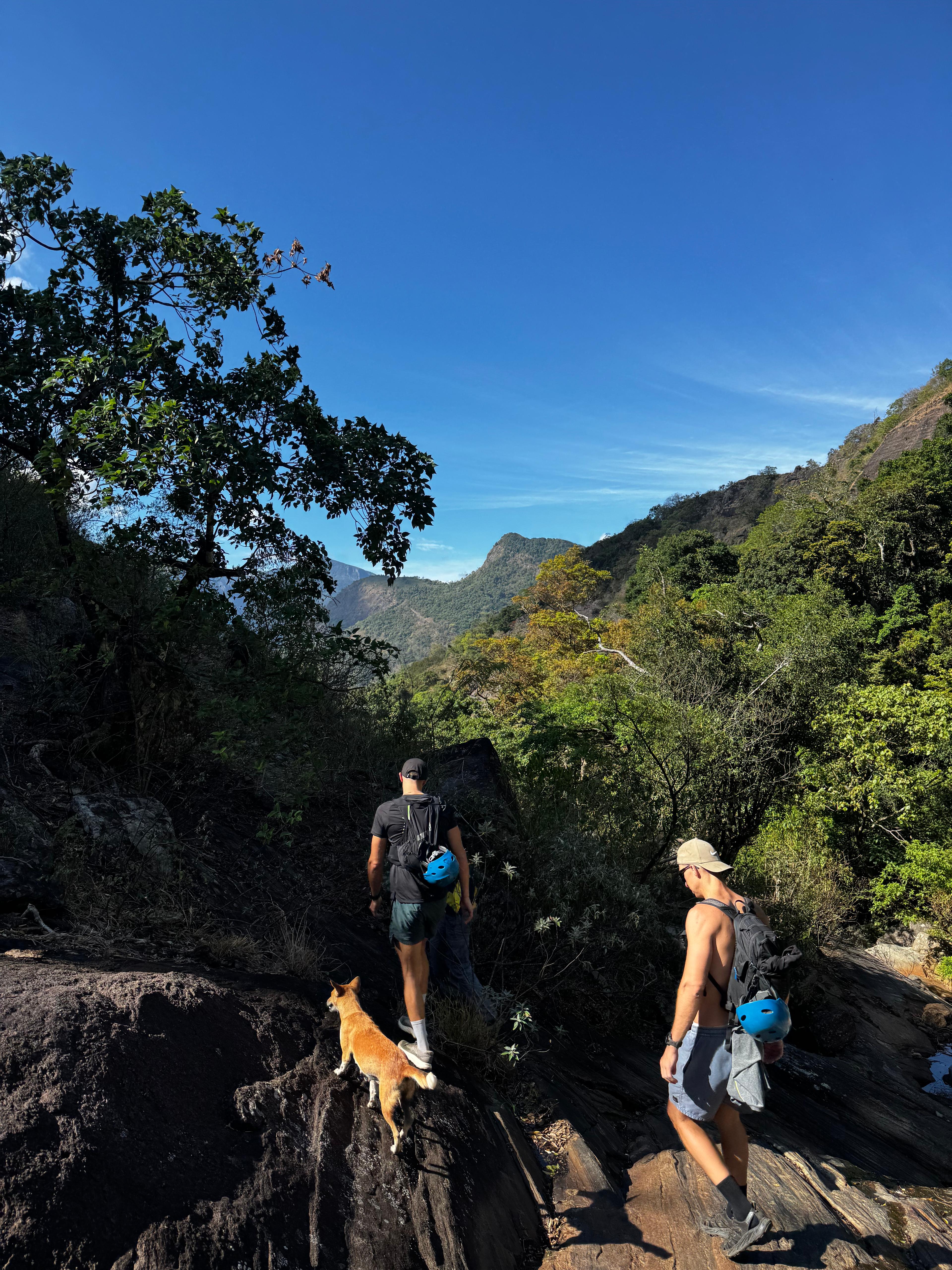
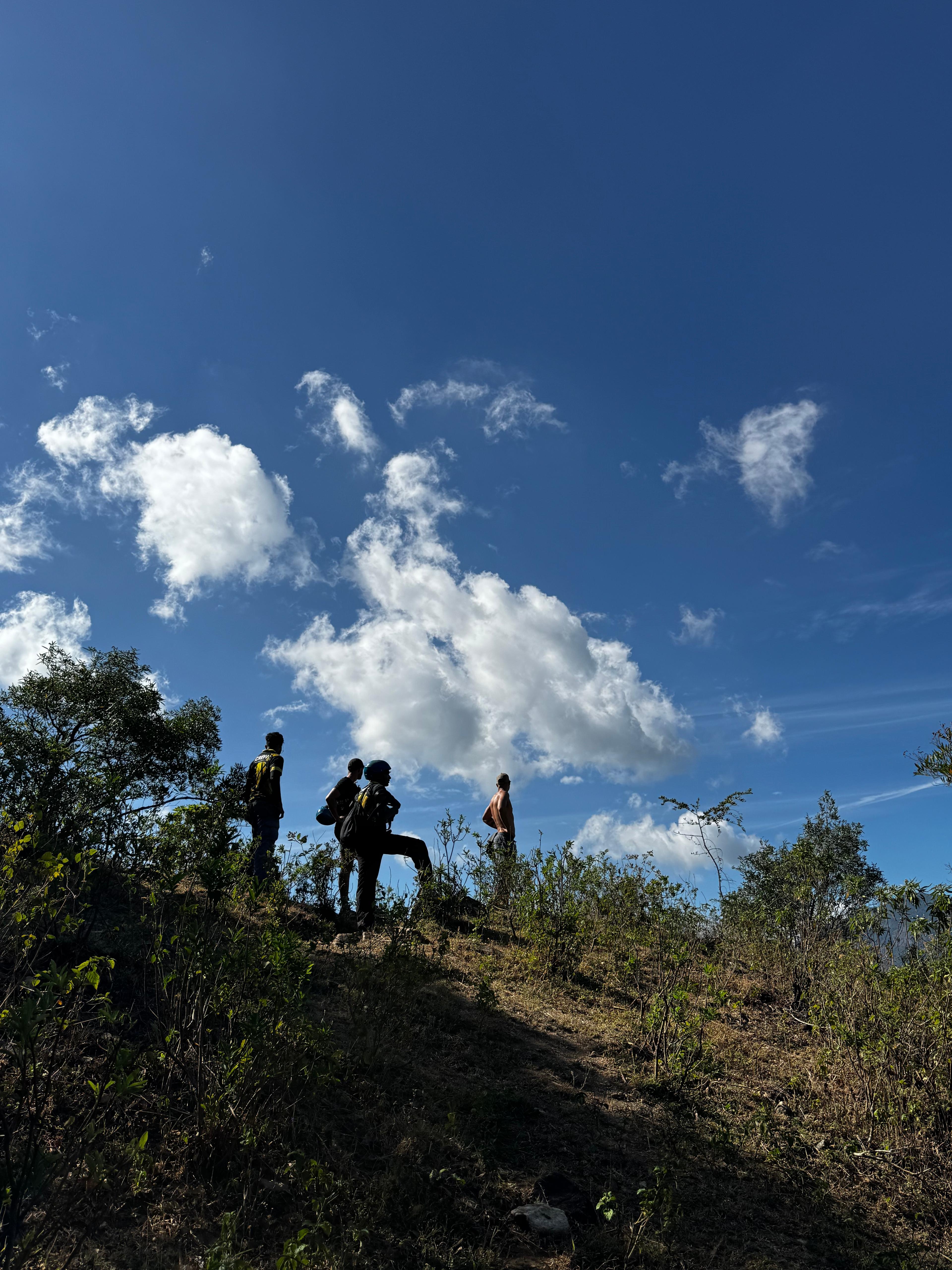
The open forest climb, and a dog who joined us
After a short break, we kept walking up toward Lakegala, still inside open forest. By now it was hot and sunny, and we were losing water fast. A dog from the village had joined us somewhere along the trail and stayed close the whole way.
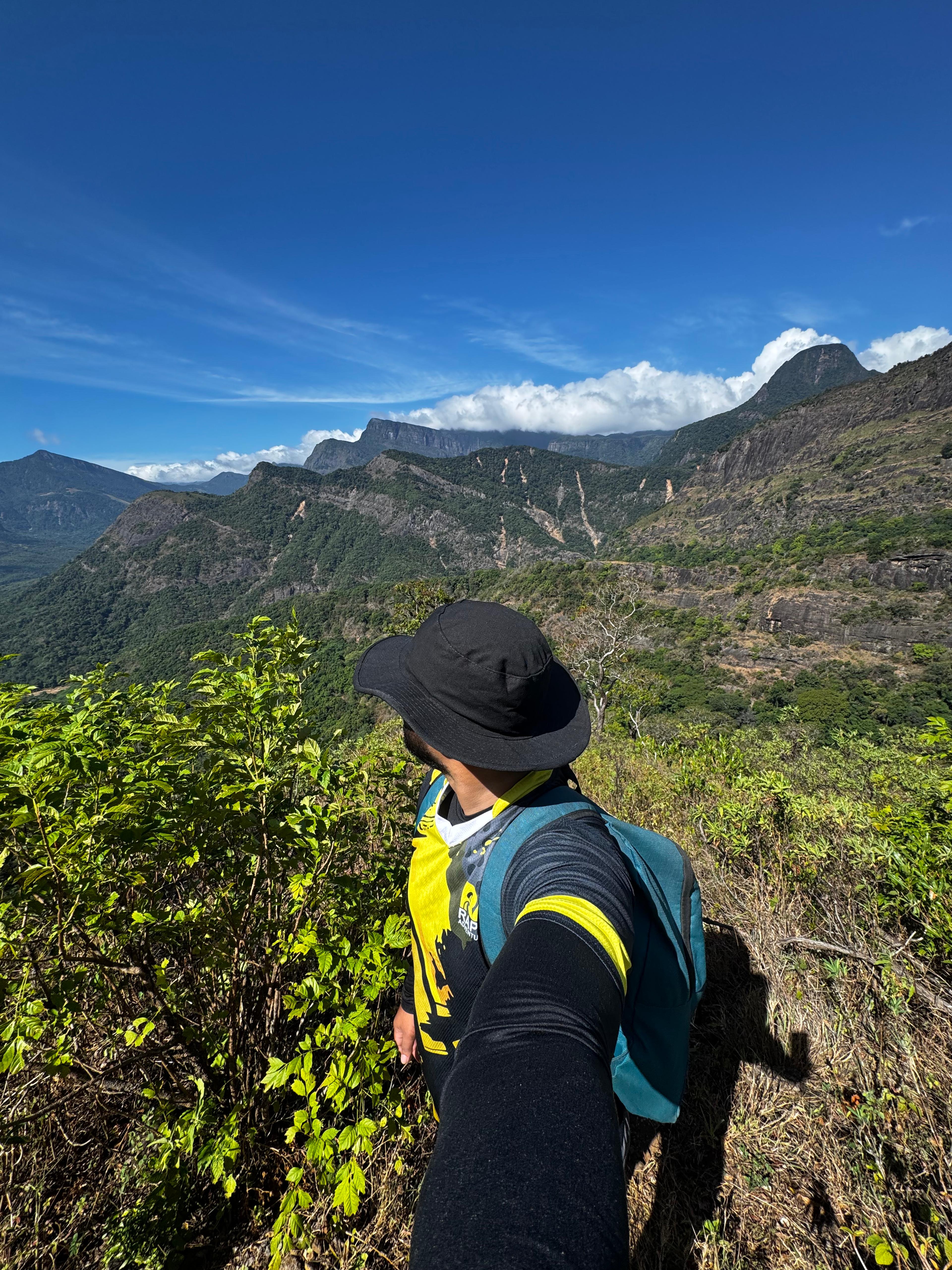
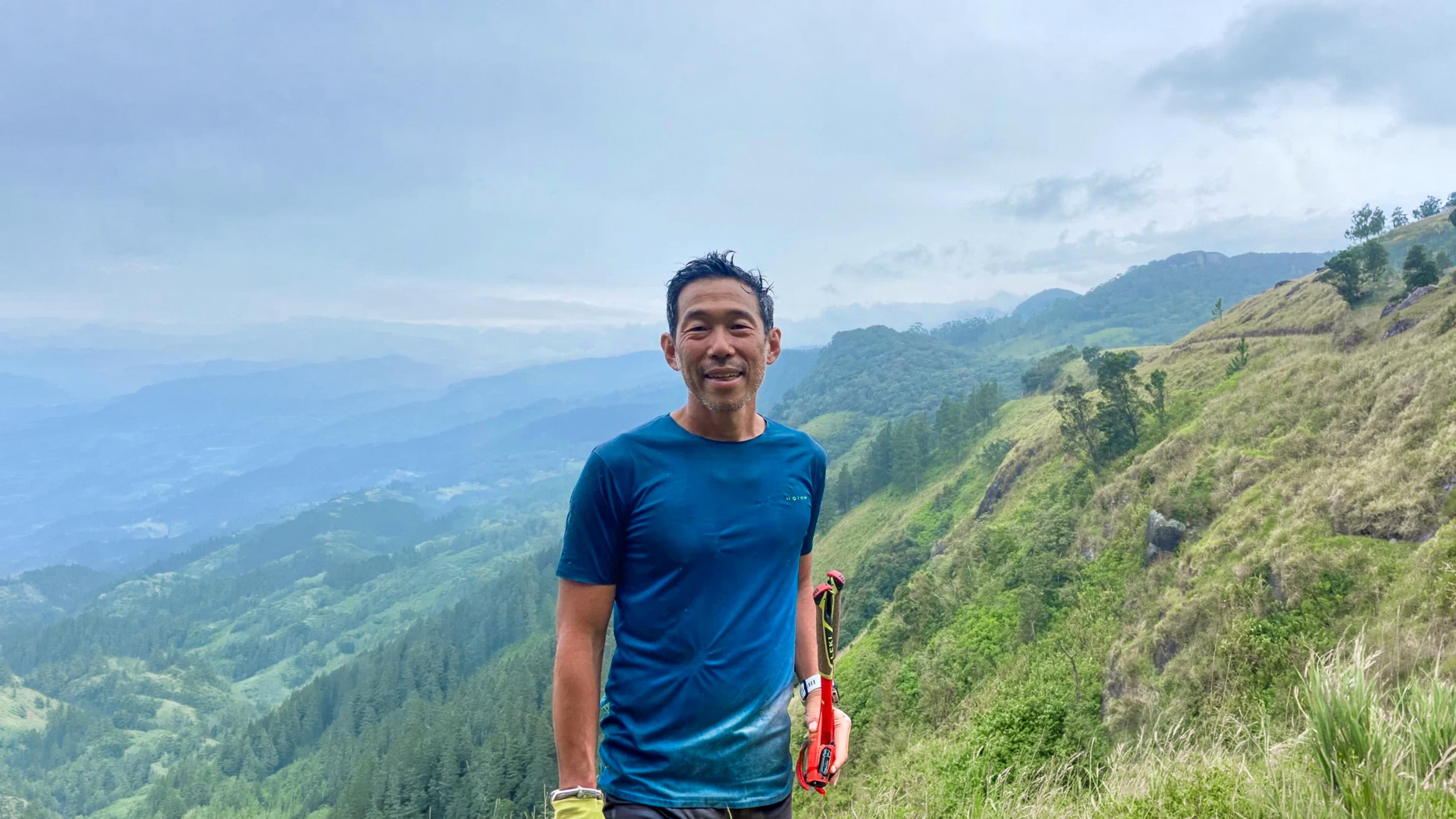
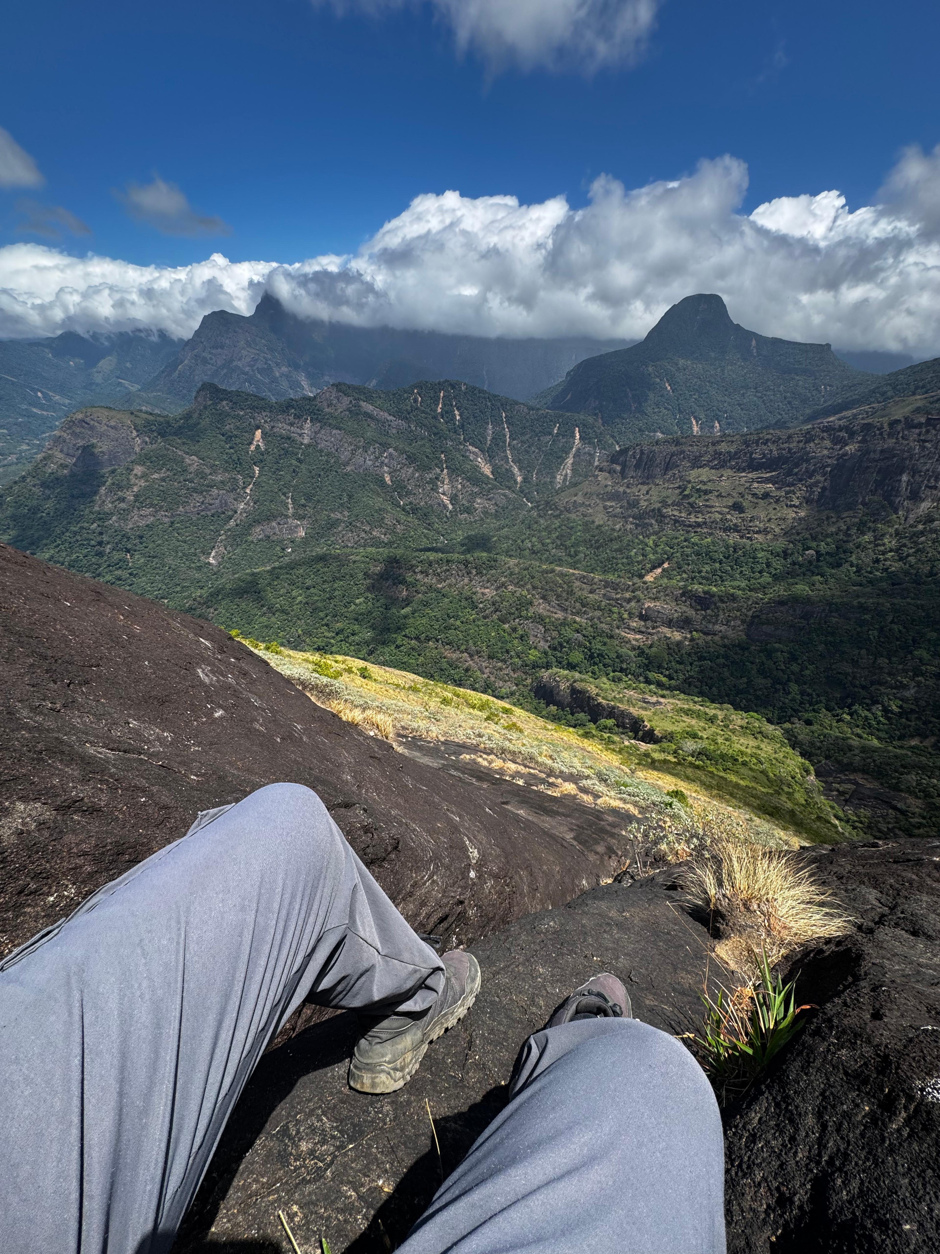
From here, the view started opening up behind us, and we could see the landslide scars across the surrounding hills. It is hard to describe how much land changed. I sat down for a few minutes just to take it in, and I remembered my first Lakegala climb back in 2017 with my scouting friends. This was my second time on this mountain, and I could not stop comparing the two experiences: the view before and after the cyclone, and honestly, my own fitness back then versus now. My energy was already dropping.
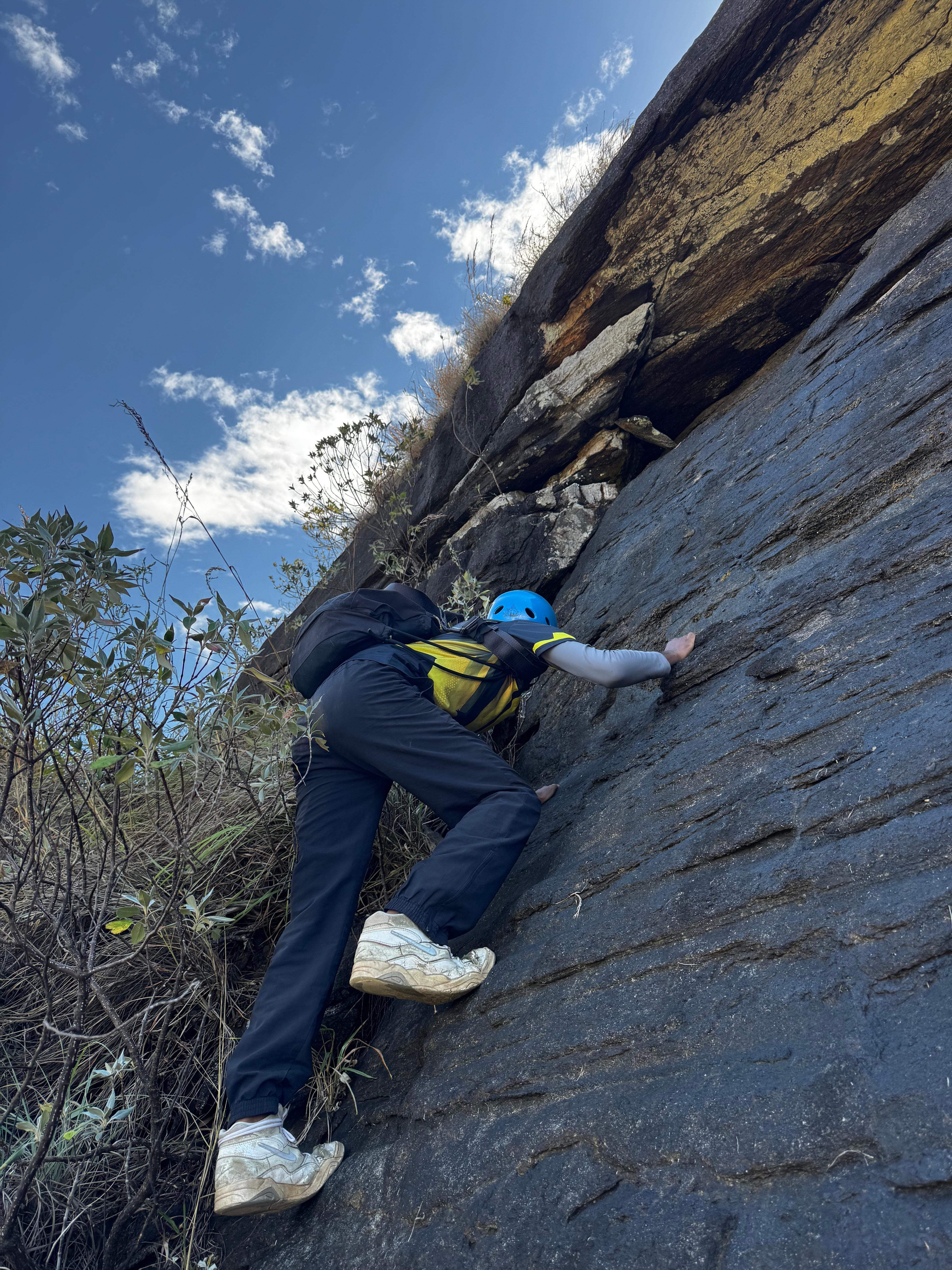
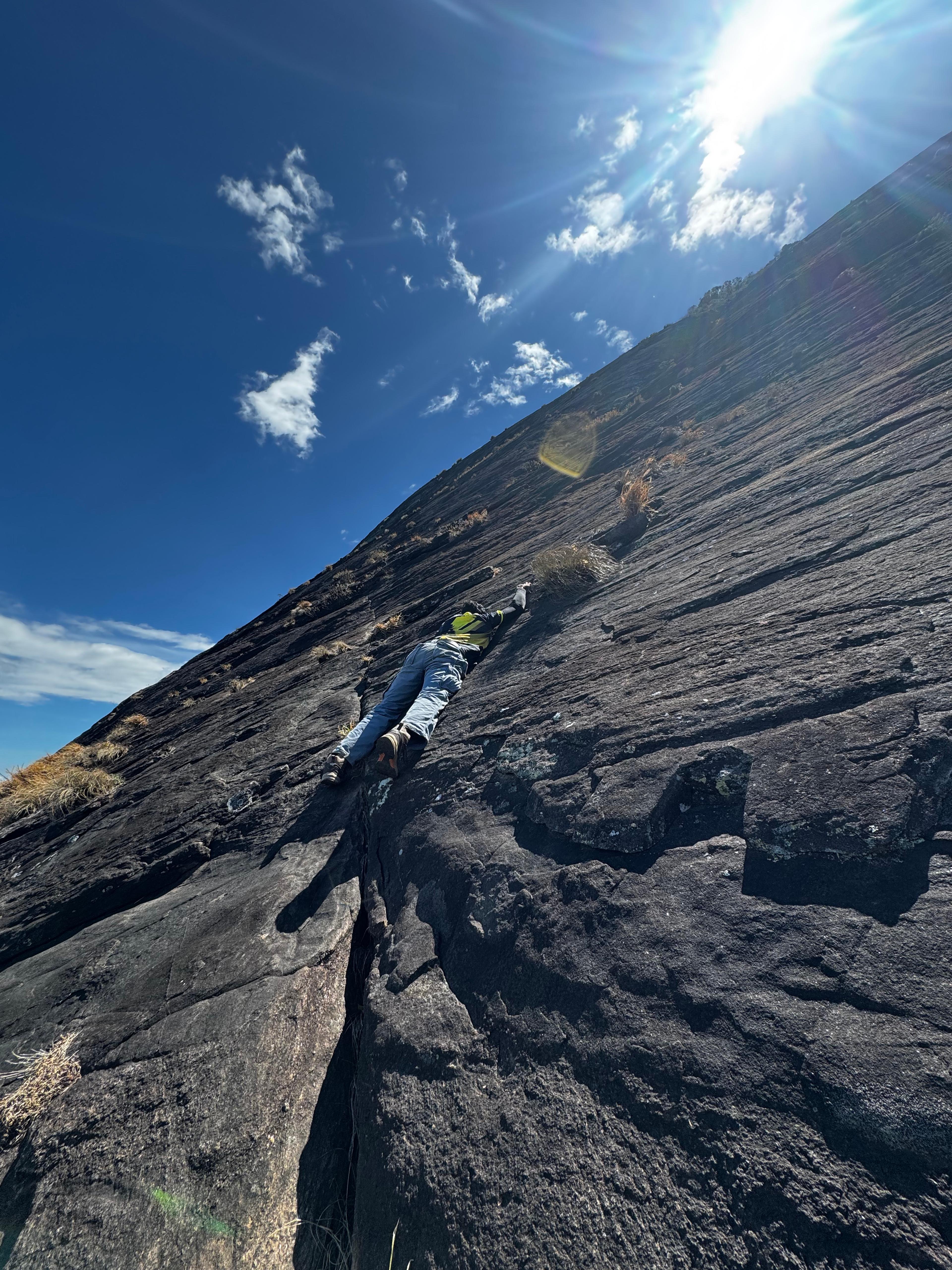
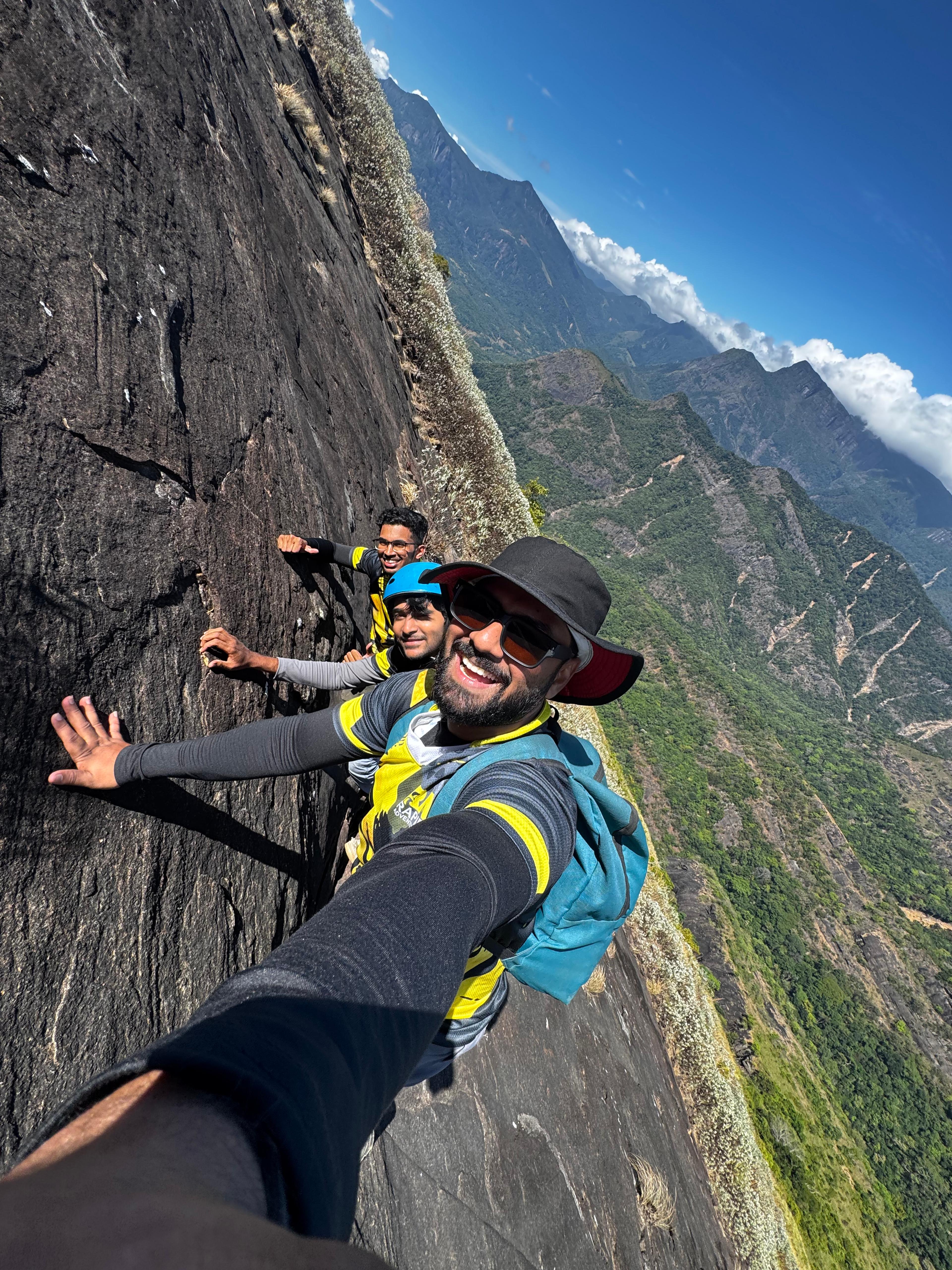
Step by step, we reached the rock section of the climb. This is where the dog had to stay behind. From here on, it is hands, feet, and full concentration.
The rock climb
By 10 AM, we were on the rock. In 2017, we climbed this same narrow section without any rope. This time, the wind was strong, and we were not taking that risk again. We used a proper high quality rope and climbed up carefully, one move at a time. This part of Lakegala is genuinely dangerous if you are not careful. The wind, the heat, and the exposure all work against you at once.
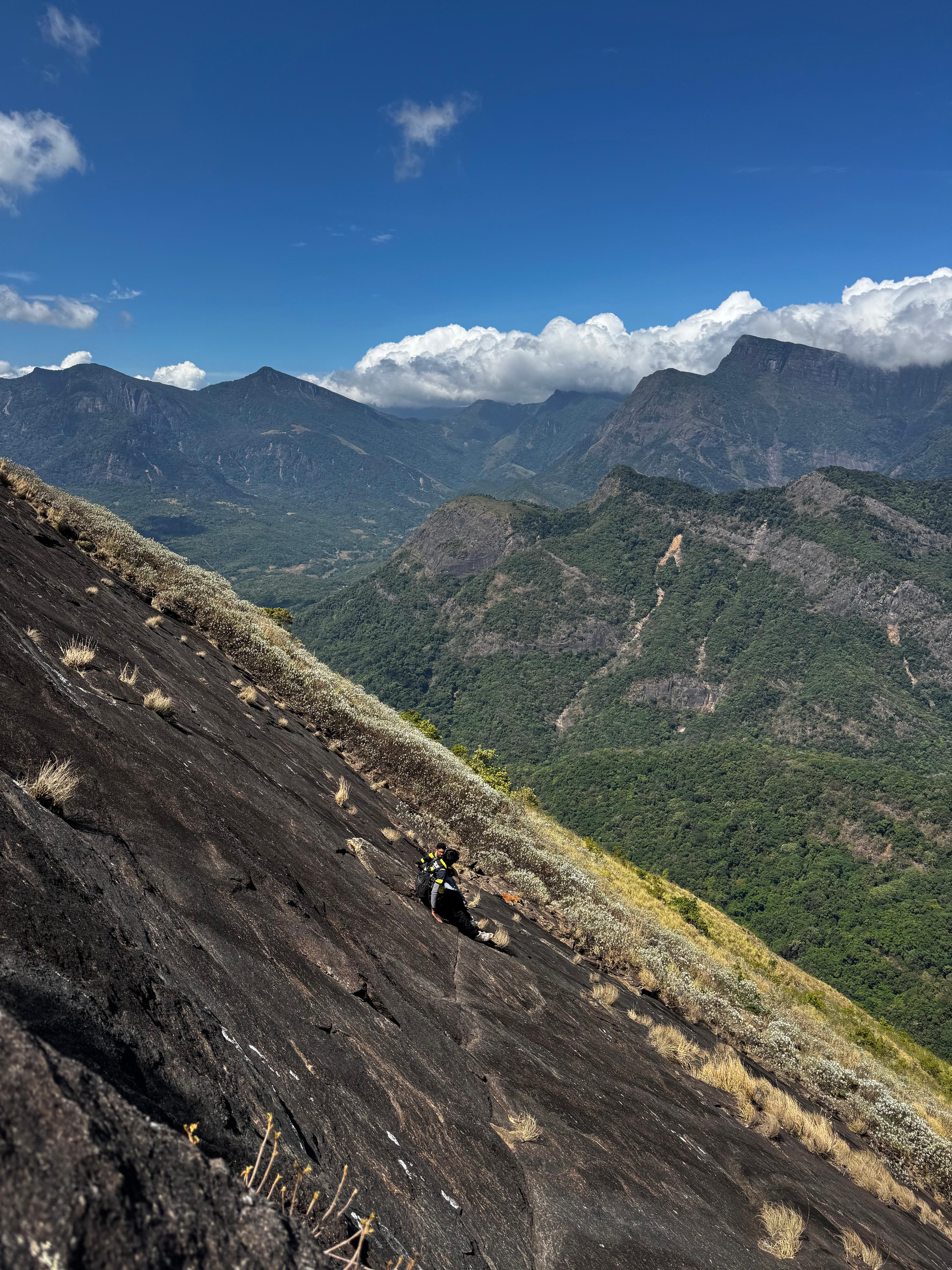
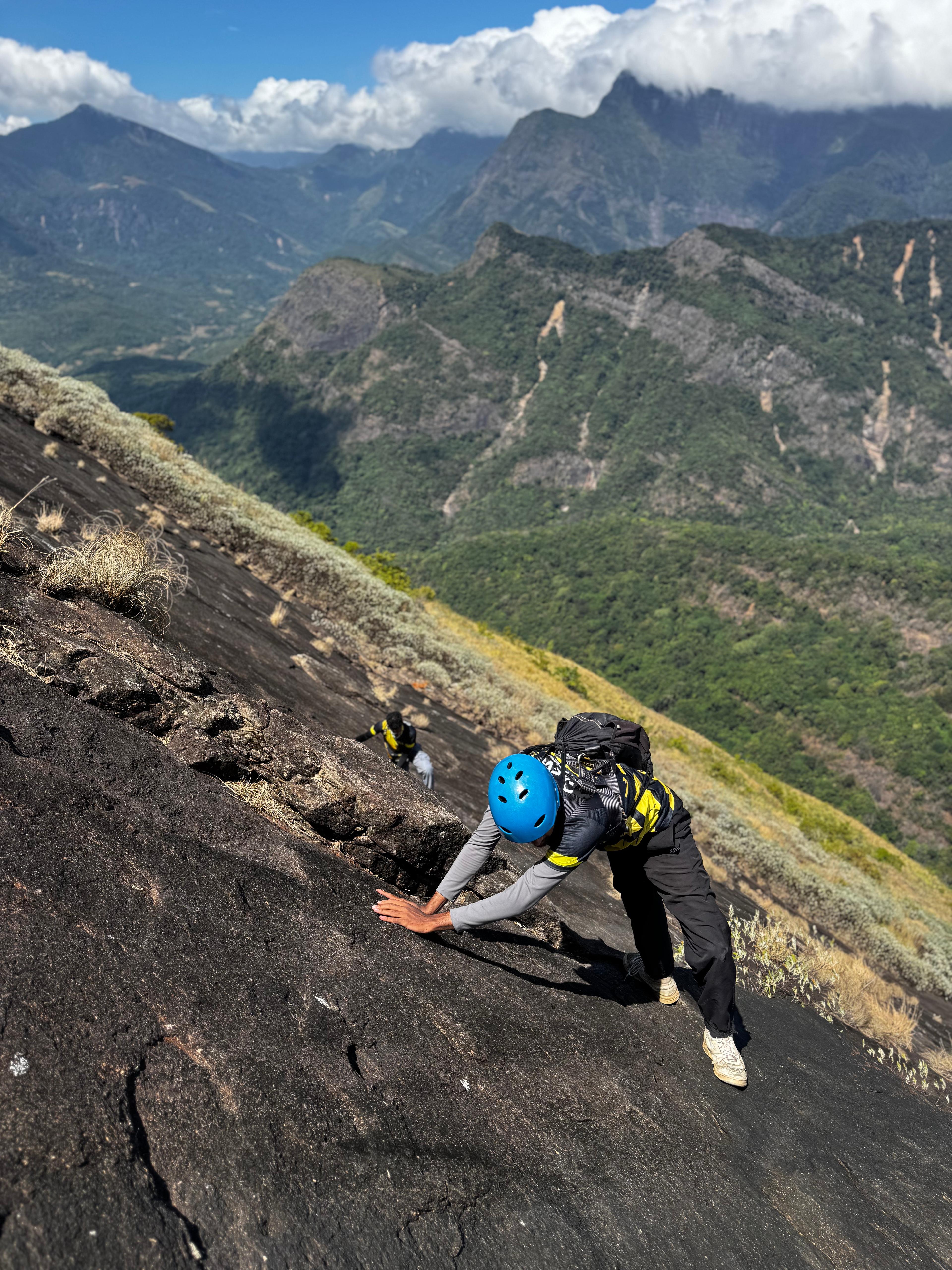
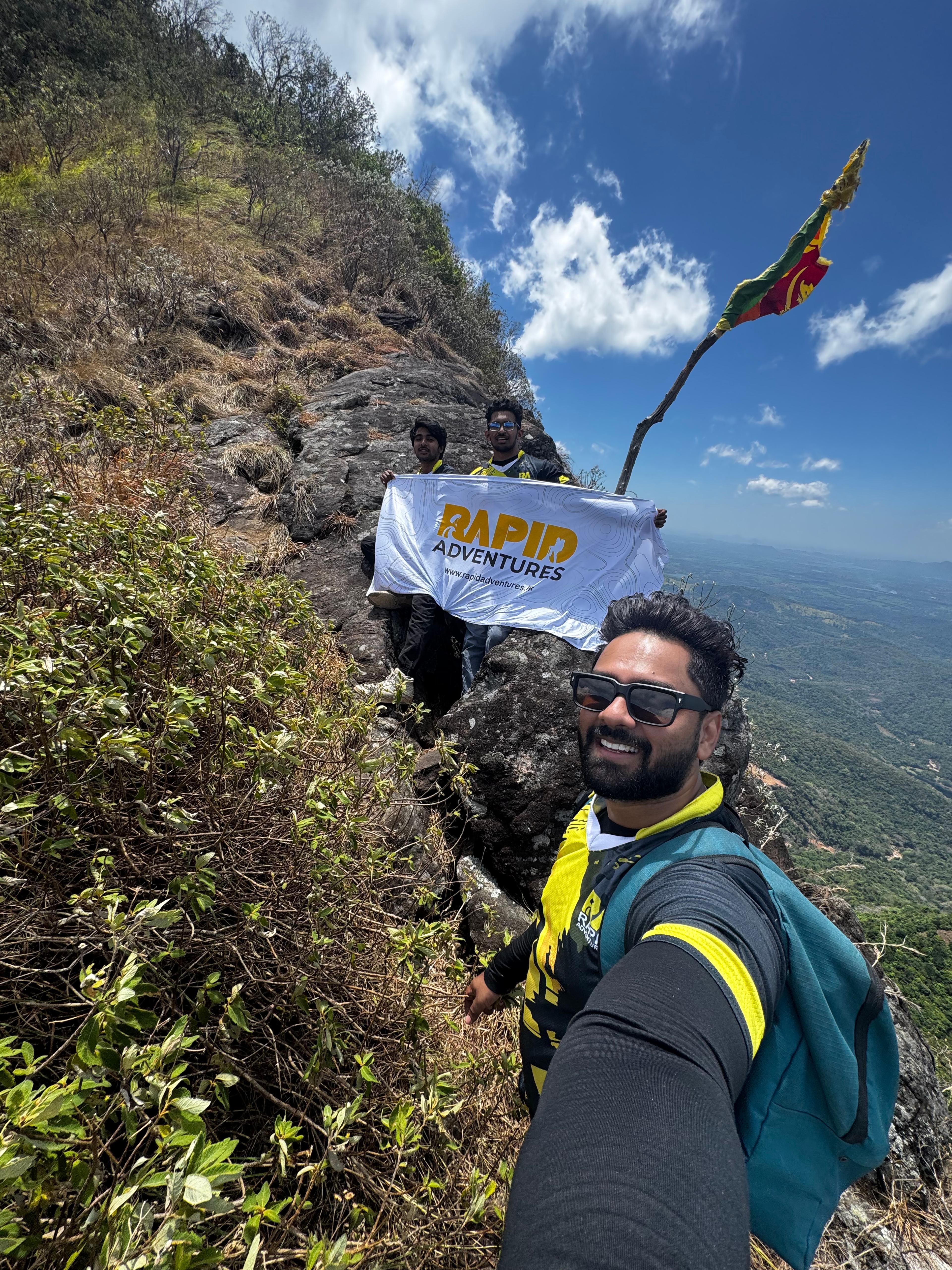
We reached the summit at around 11 AM.
The summit
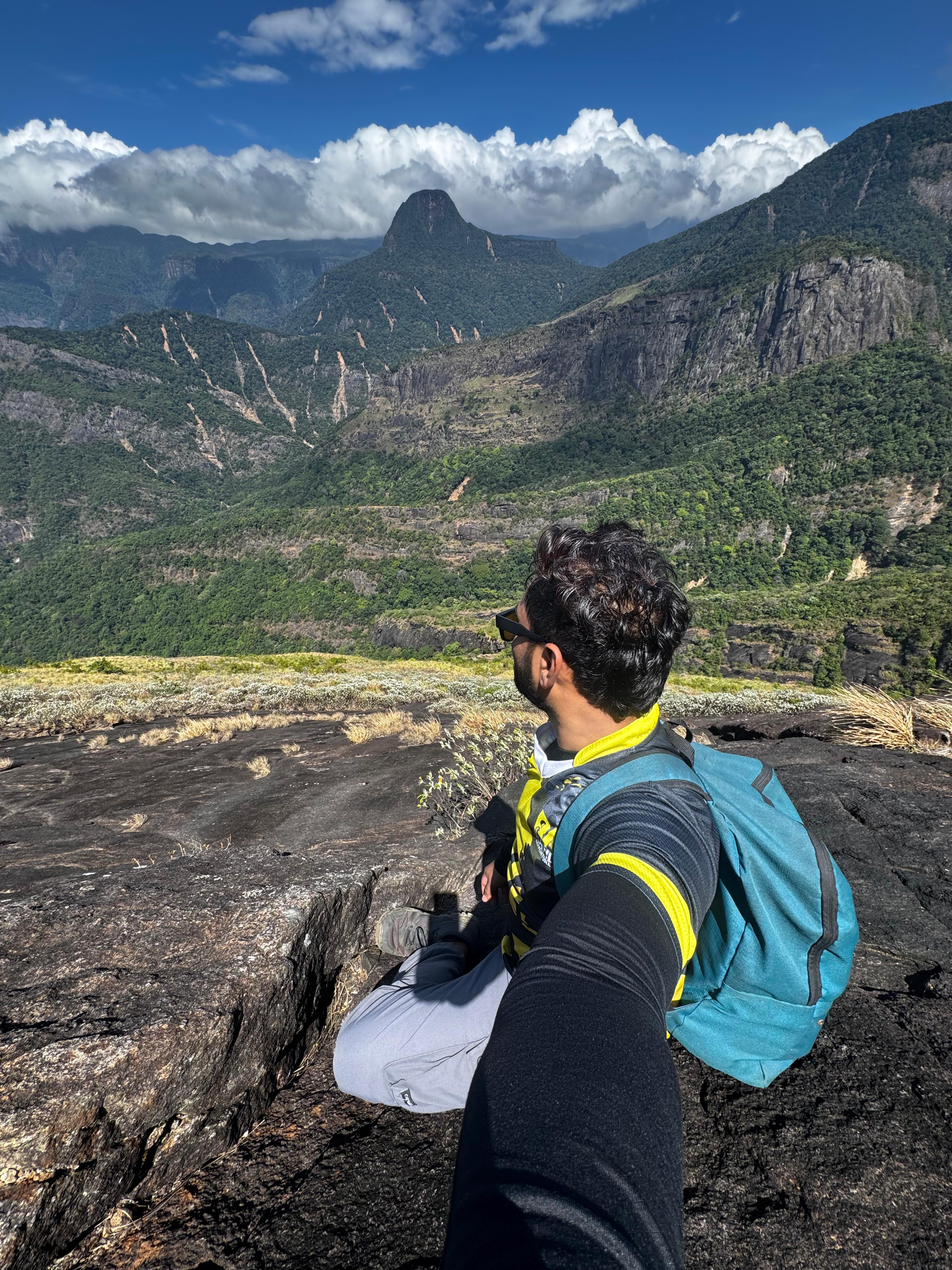
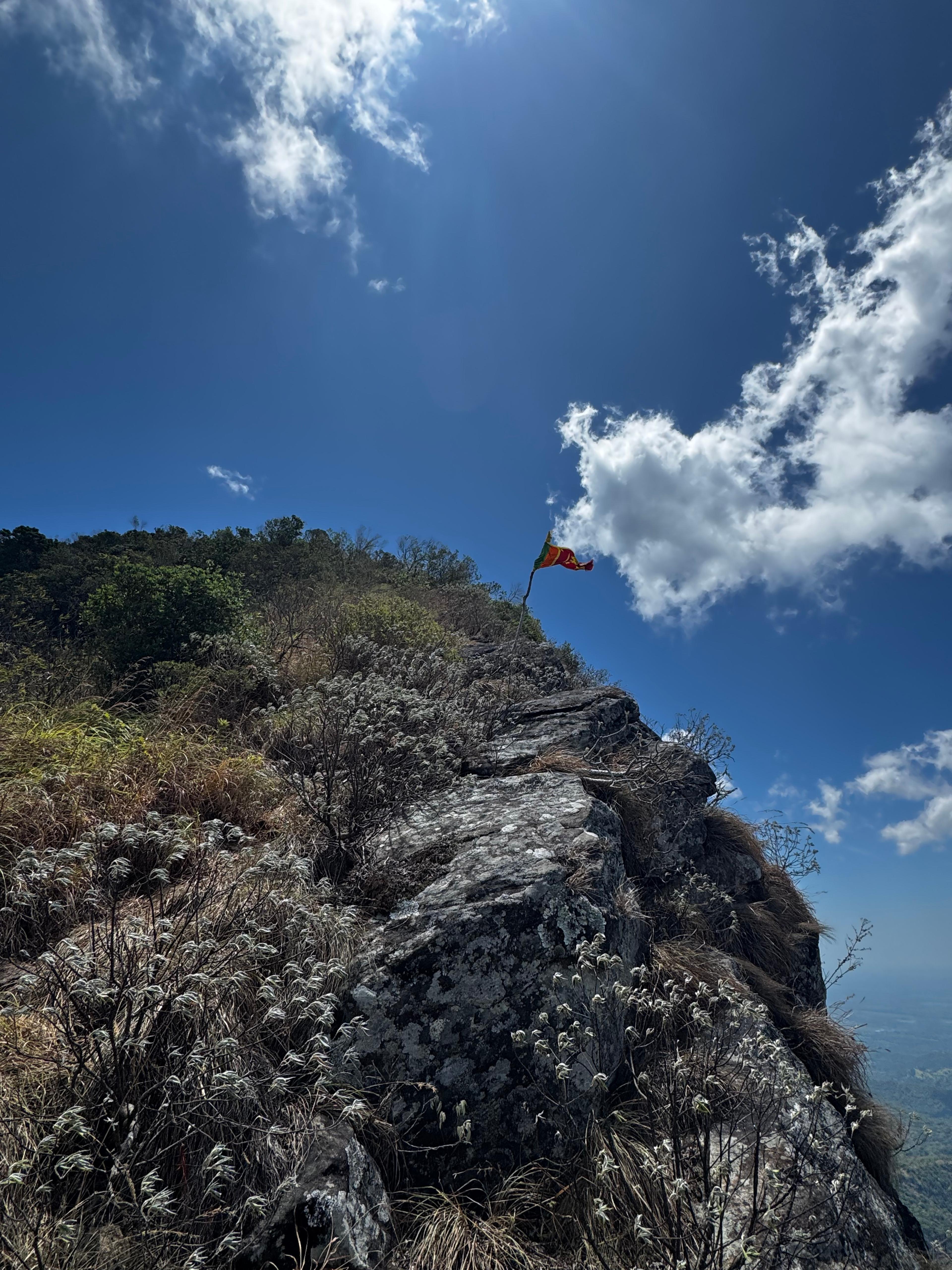
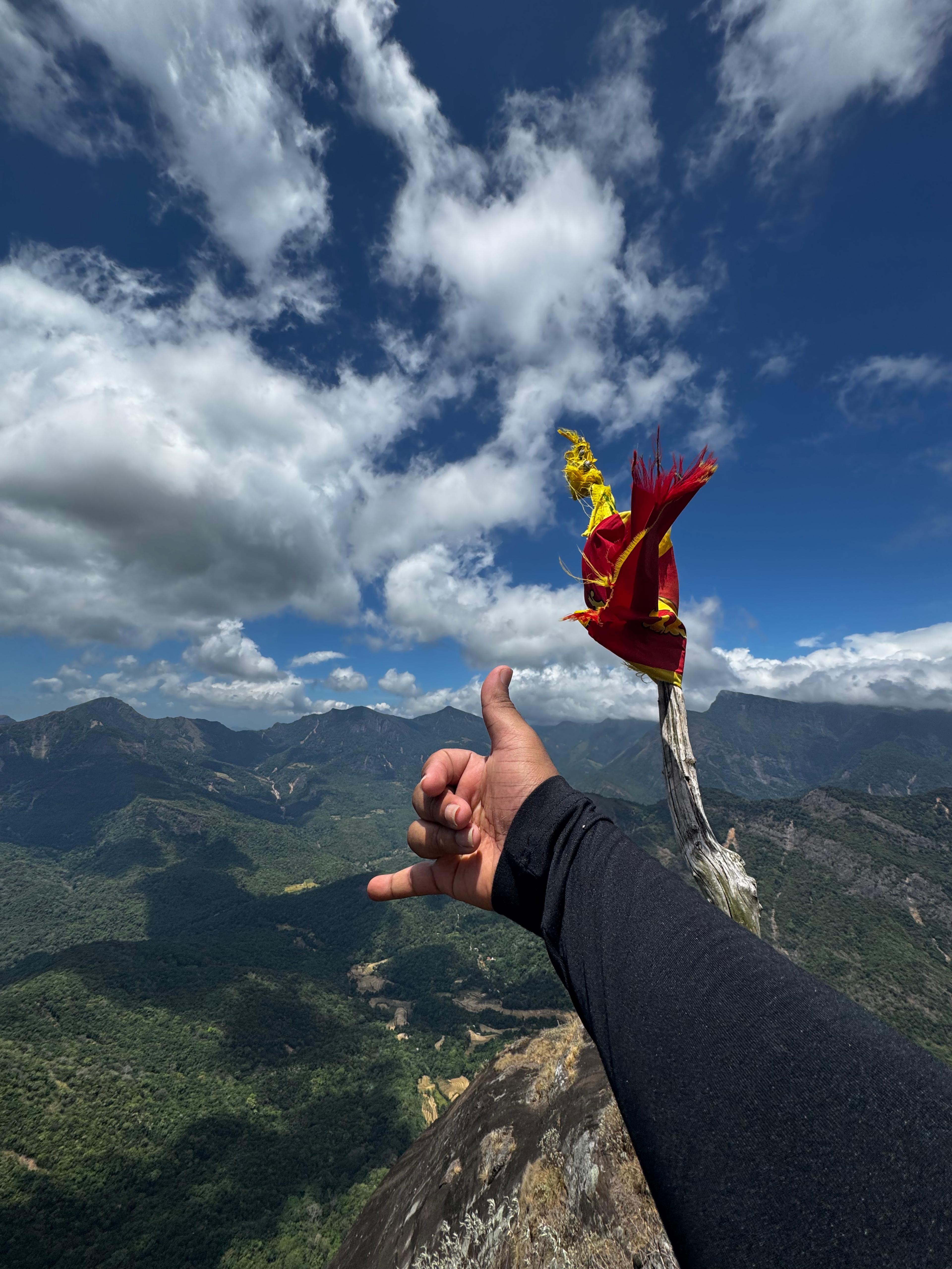
The view from the top of Lakegala is the reason people put themselves through all of this. You are standing on one of the highest bare rock faces in Sri Lanka, looking out over the Knuckles Mountain Range and the Dumbara forest below. On a clear day you can pick out other peaks in the range, the deep valleys, and waterfalls catching the light in the distance. We sat there and just let ourselves enjoy it for a while, after everything it took to get up there.
Going back down
We started climbing down around 12 PM. Honestly, looking back down at the path we had just climbed up, it was hard to believe we had done it. The descent was its own challenge, just as careful and just as slow as the way up.
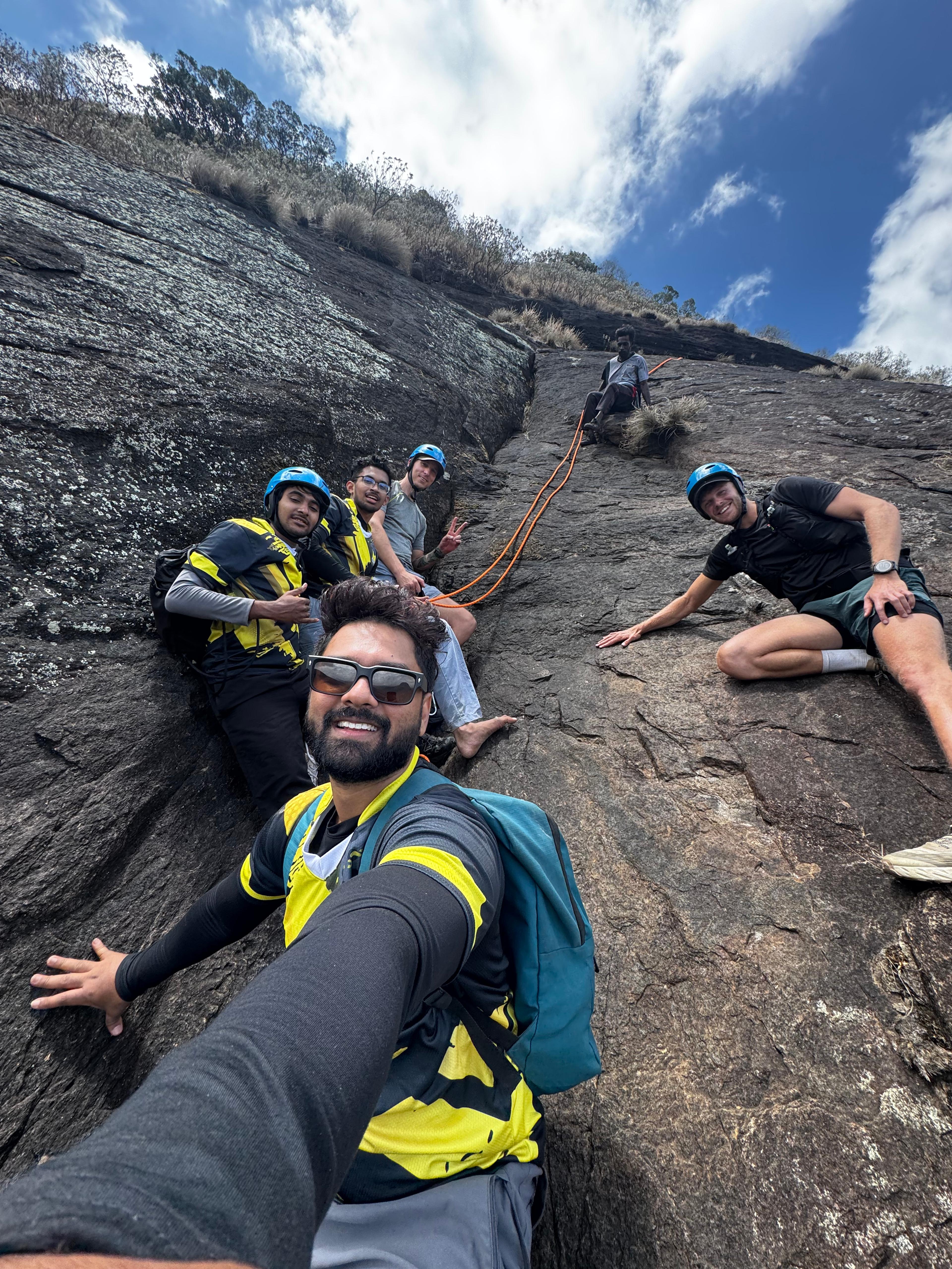
We reached the bottom of the rock section around 1:50 PM and stopped for our packed lunch. There was a small water tank nearby where we washed our hands. The dog was waiting for us there, and we shared some of our lunch with him.
From there, we moved into the forest section again. Our water was running low, and there are no water streams to refill from during the dry season, so we picked up the pace. We made it back to the Meemure campsite around 3 PM.
We relaxed for a while and took a bath in the waterfall right next to the campsite. After a day like that, it felt incredible. We packed up, said goodbye to Navarathna uncle, and started the drive back to Hunnasgiriya. This time, we could actually see the surrounding damage from the cyclone in daylight, since the drive in had been at night. It was a quiet, sobering ride back.
Planning your own Lakegala hike
If you want to do this hike, here is what you need to know, based on what we dealt with in July 2026.
Permits and tickets
Lakegala falls under the Forest Department, and you need permission before you climb.
- Local visitors: LKR 500
- Foreign visitors: LKR 1500
On some days, tickets are not issued directly. If that happens, you will need to write a letter to the Director General of the Forest Department and request permission that way, along with making the payment. This process can take 2 to 3 days, so plan ahead and do not leave it until the last moment. You also need to visit the Forest Department office in Battaramulla in person for this. Other branches and offices cannot issue this particular permit.
Forest Conservation Department contact: Phone: 011 288 8976 Email: fd.cf.et@gmail.com
Rules and requirements do change, so confirm directly with the Forest Department before you plan your trip.
Get a proper guide
Do not attempt Lakegala without an experienced local guide. The rock section is genuinely dangerous, and the route is not something you want to figure out on your own. Rapid Adventures runs guided Lakegala hikes with local village facilitators like Navarathna uncle who know this mountain and this route better than anyone. Check the Lakegala hike experience here or reach out to book@rapidadventures.lk.
Respect the mountain and the village
- Do not leave polythene or any waste on the trail
- Follow your local guide's instructions at all times, they know the safest route
- Carry enough water, especially during dry season when the streams disappear
- Bring sun cream and a hat, the open rock sections have zero shade
- If you are hiking during the rainy season, carry leech protection
- Keep your bag light. You will need both hands free for the rock climbing sections
Final thought
Lakegala gave me a strange kind of perspective this time. The mountain itself has not changed much, it is still that same sharp triangle rising out of the forest. But everything around it has. Meemure is rebuilding, slowly, the way it always has. If you go, go with respect for the mountain and for the people who call this valley home.