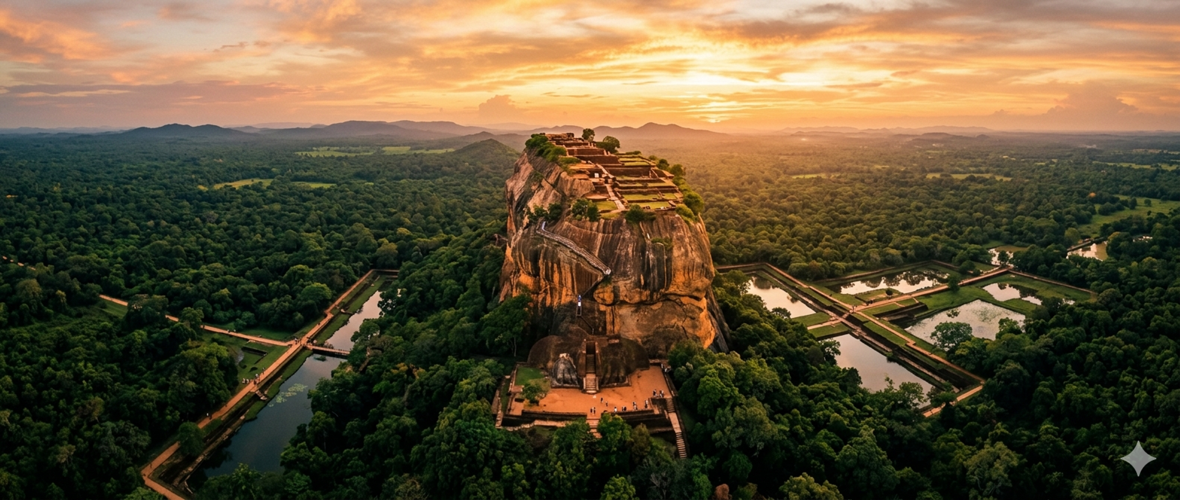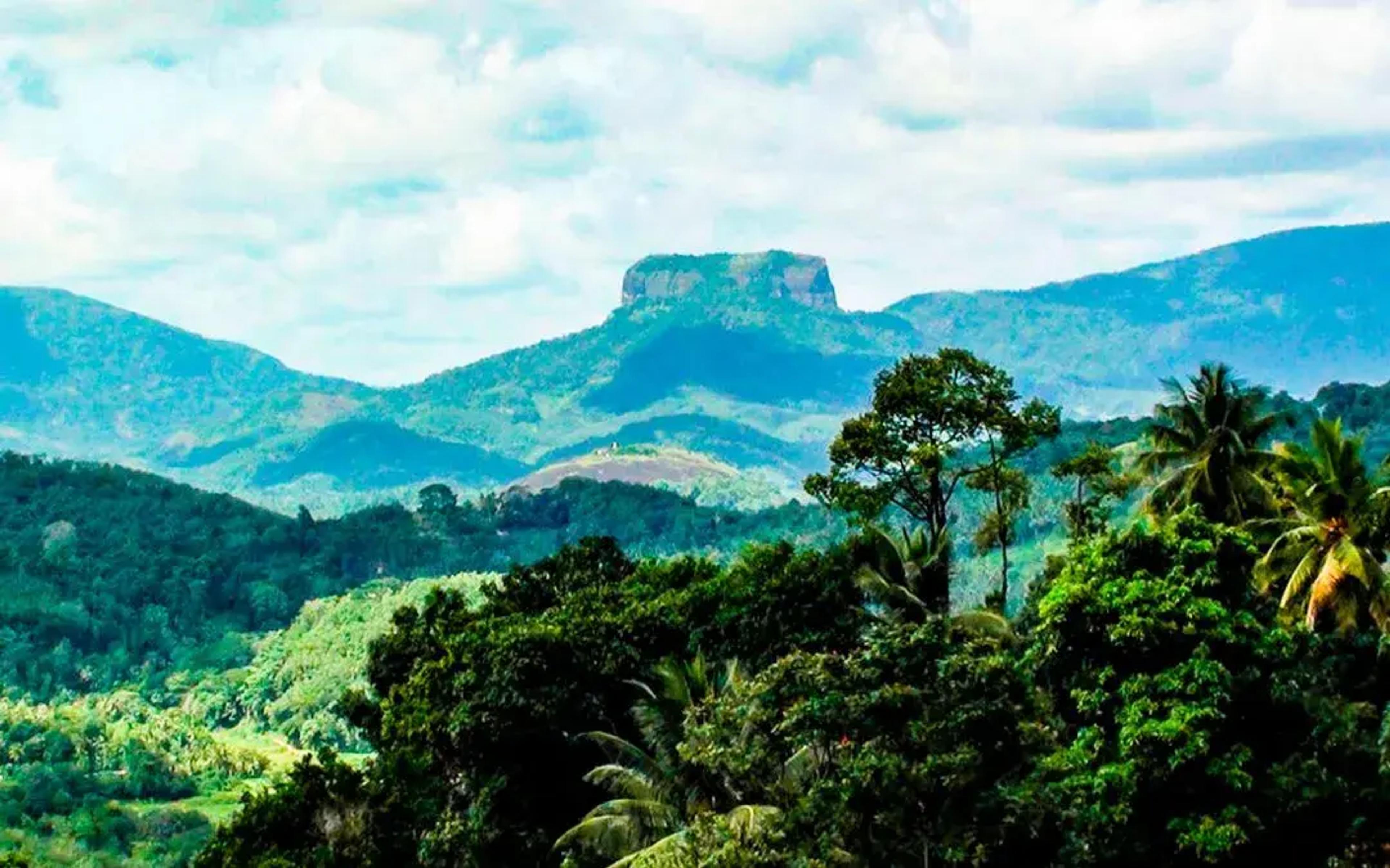
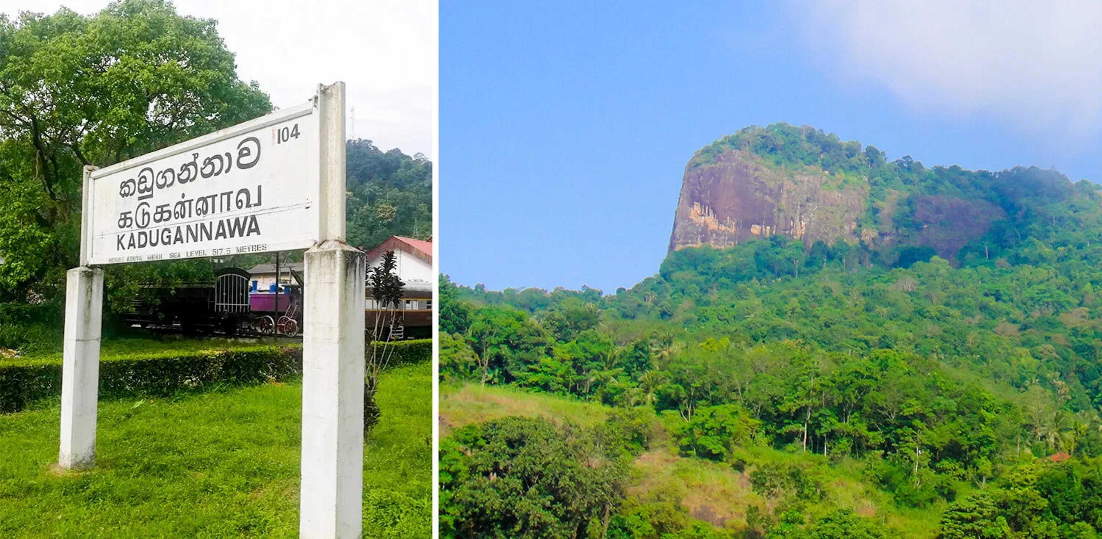
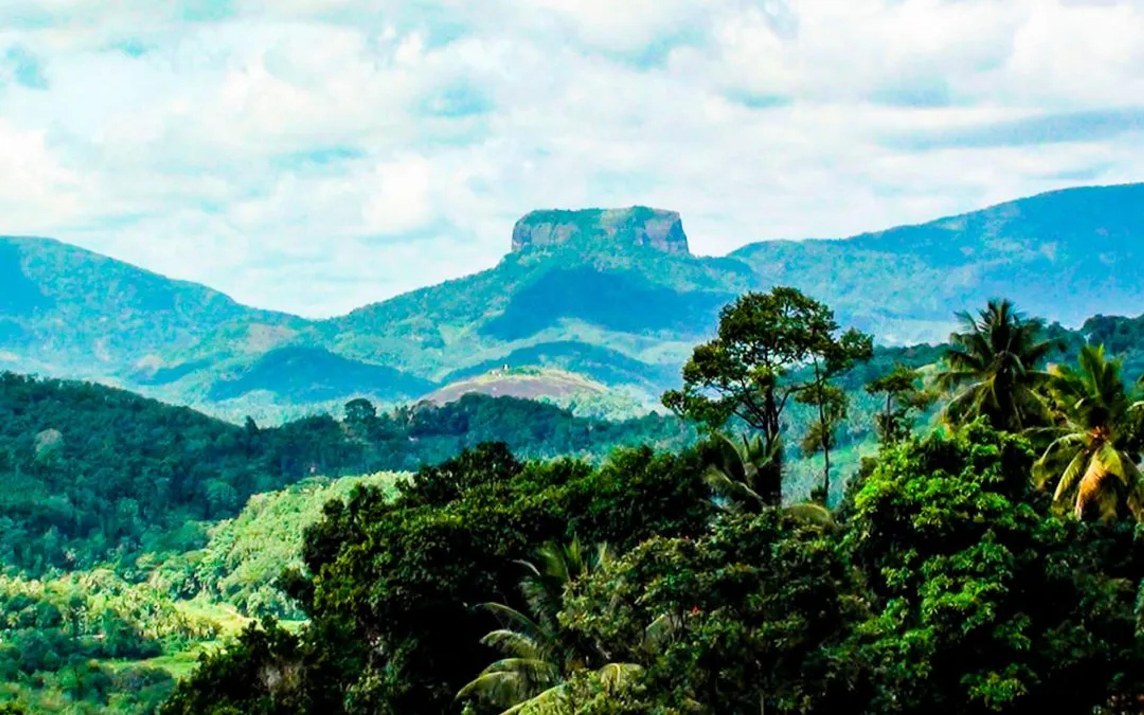
The Bible Rock or “Bathalegala” is a rock mostly similar in formation to the world famous citadel; Sigiriya. With a height of 797.7m and a breath of 710m, it is located in the district of Kandy, in close proximity to Aranayake. It can be seen majestic and tall when you travel along the Kandy road passing Kadugannawa.
This rock is named after the British as it looks like a book when viewed from the Kandy road. According to the history of this rock, it is said that when the Kandyan Kingdom was under the threat of the Portuguese, locals set men to watch over for trespassers at the highest peaks around Kandy. Bathalegala was one such watch point with a very clear view of the Kadugannawa pass and the valley of Kegalle. Also, according to the villagers, this magnificent rock lies just below the earth’s magnetic field line which makes it dangerously prone to lightning strikes, many as dozens per day! It’s highly advisable to refrain from hiking during the rainy season.
Getting there
We were a bunch of 6 backpackers from Colombo, and we took the 5.45 am train to Kandy; the famous class 12, Chinese blue dragon and reached Kadugannawa at around 8.30 am. From the Kadugannawa station, we took a walk to the Kadugannawa bus stand which is right in front of the station and took a bus to Mawanella. At Mawanella, we took the Mawanella-Aranayake bus (659) and got off at the top of the Hathgampola Temple road which shows a direction board saying “to the Bathalegala road”
This hike can be done in two ways: Start the hike at the Hathgampola temple. The elevation is around 500 m with a climb of around 3.5 kilometres. This is where we started our hike and it took us around 2 hours to reach the trail-head. Start at the trail-head where the elevation is around 150 m with a climb of 450m. Until the trail-head, the tarred roads are narrow and quite steep. Hence, you can only go in small cars, three wheelers and on motor bikes. There is parking space at the trail-head but is limited.
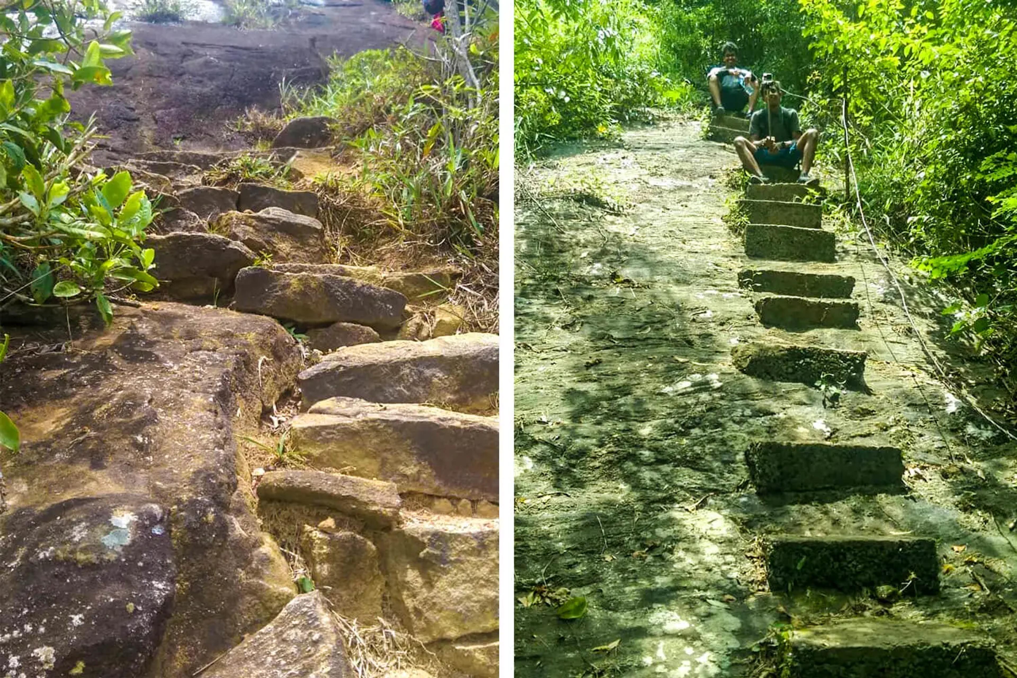
The Hike Trail
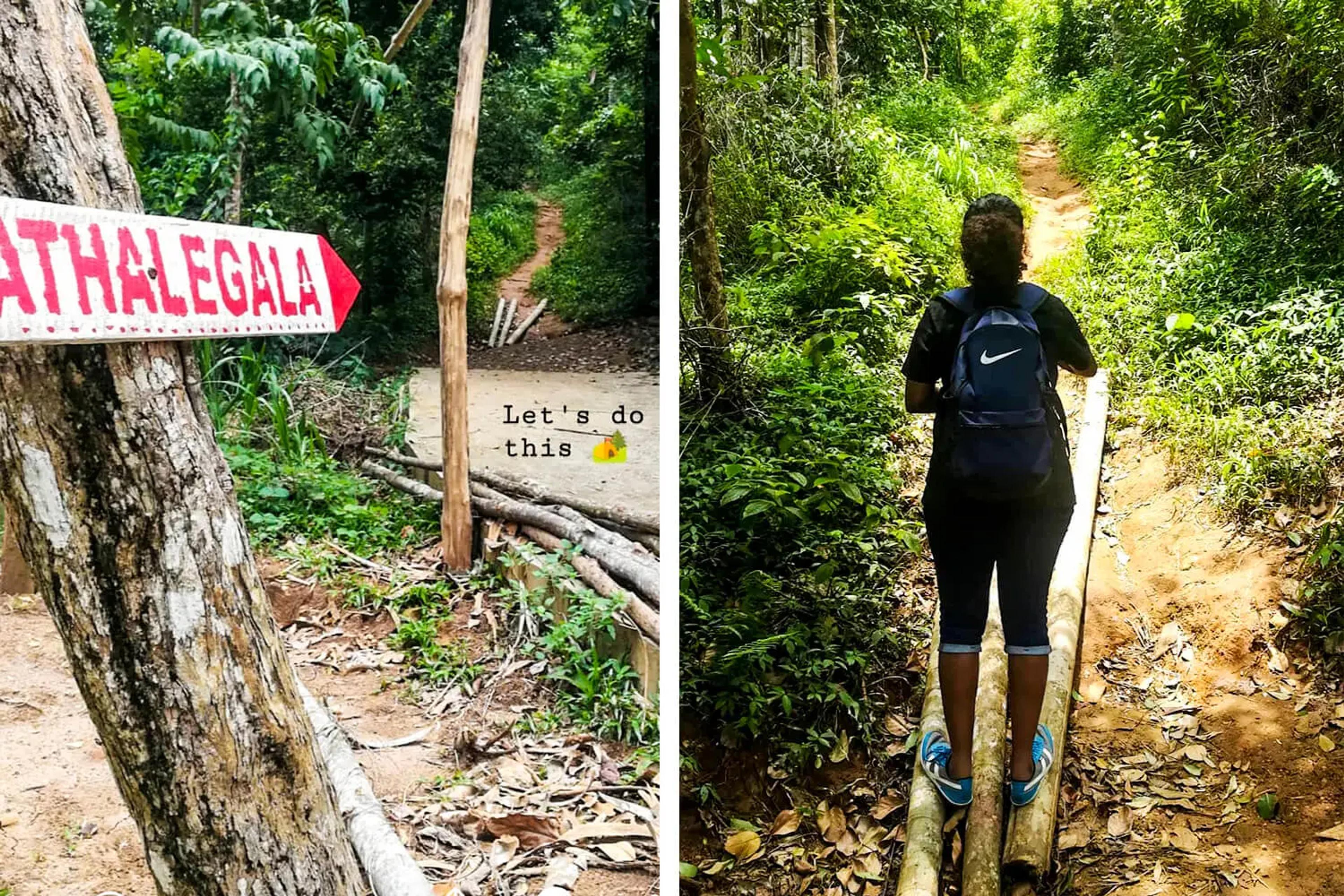
We started walking up the road from the sign board. This road was tarred and was surrounded by tall Maana grass and rubber trees. The constant winds blowing across made the hike feel quite less tired.
After a distance, we came across an incredible stone well that was built back in the year 1967. According to the villagers’ beliefs, this well never runs out of water!
From here onwards, after walking about a kilometre, the Bible rock is visible at a sight! The trail which initially started off with a narrow foot path and a mild slope now continues to grow steep. Continuing the walk for another 1.5 kilometres will bring you to the start of a journey that takes you through the lush forests.
Start of the trail route
We now reach the start of the trail route with a sign very hard to miss saying “Bathalegala”. The trail is an elevated slope where mighty rocks precariously balance at the fringes of the lush forest. This climb gets steeper and is a continuous climb. The forest is rather cool as the entire surrounding is nothing but the thick and green, dense jungle! Towards the end of the trail, it’s a rocky terrain and there are a few steps to climb guided by a wire railing. (which you shouldn’t really depend on though) The slippery foot path towards the end of the climb makes it quite challenging but by this time you are almost there and you feel the cool breeze at the top and start seeing the beautiful surroundings.
You are now at the summit !
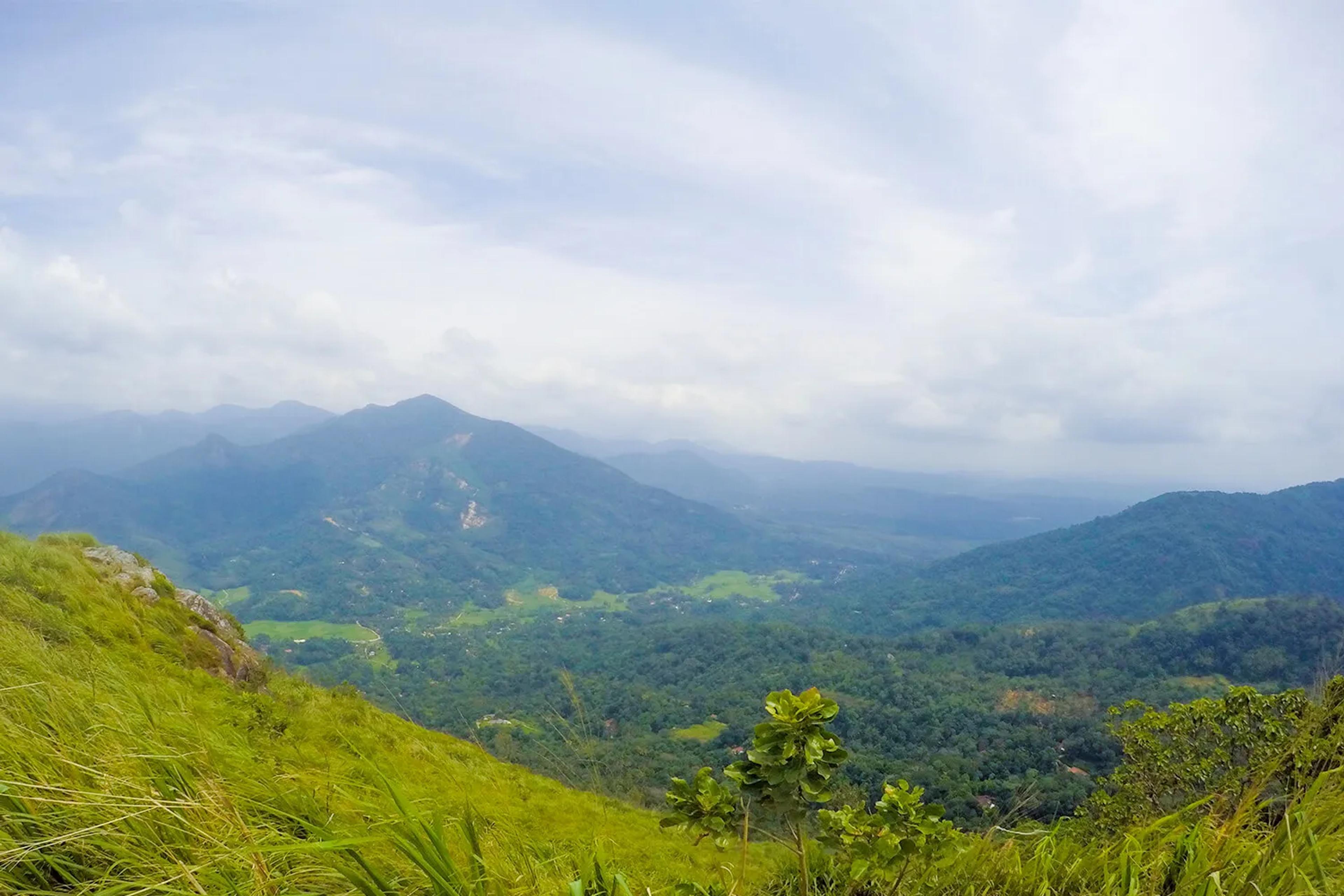
The Breathtaking view at the summit
Words wouldn’t sum up the beauty up here! The scenery down below with the mist is beautiful! The paddy fields and the thick Maana grass growing all over makes it scenic and green.
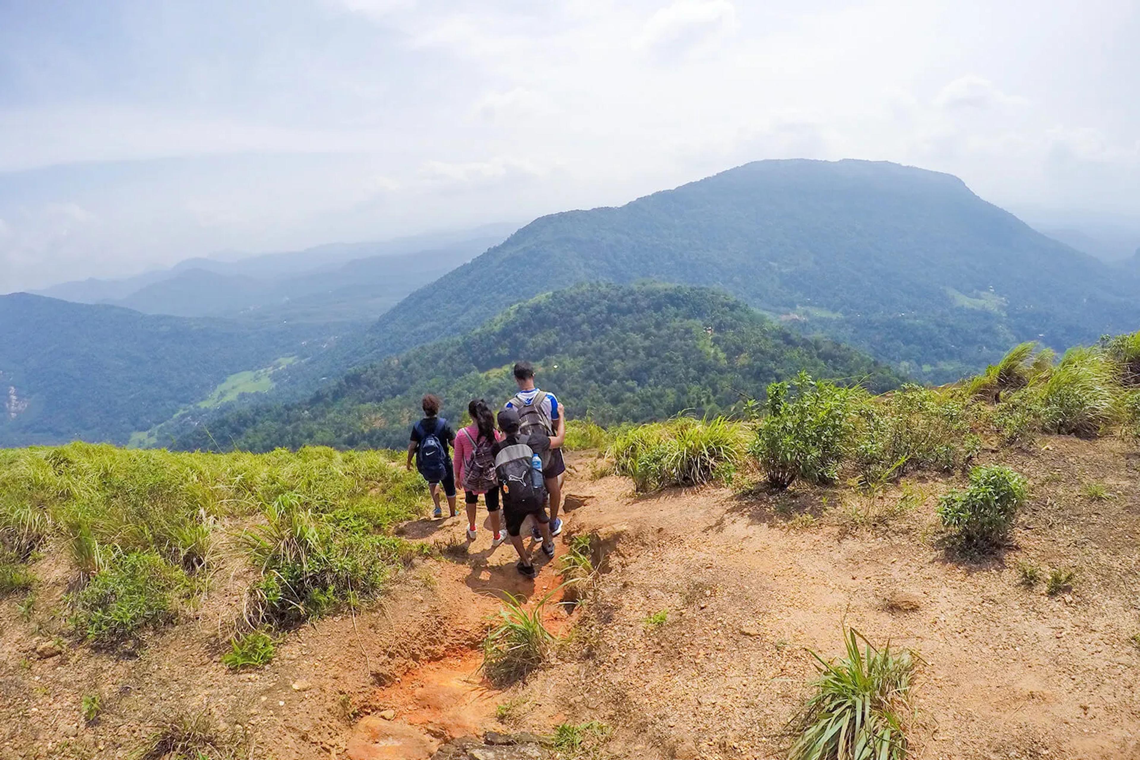
The summit point is a campsite and it is the center of the division between the paths of the viewpoints. We took a left and reached the Southern view point. From here, there are many attractions down below, both far and near!
The Samasara mountain, the Ambuluwawa Peak on the southeast, Uthuwankanda, Urakanda on the right, Devanagalakanda, Adam’s Peak, Kabaragala, the Rakshawa Moutain and even the beautiful Asupini Ella at a distant can be seen surrounding this Rock.
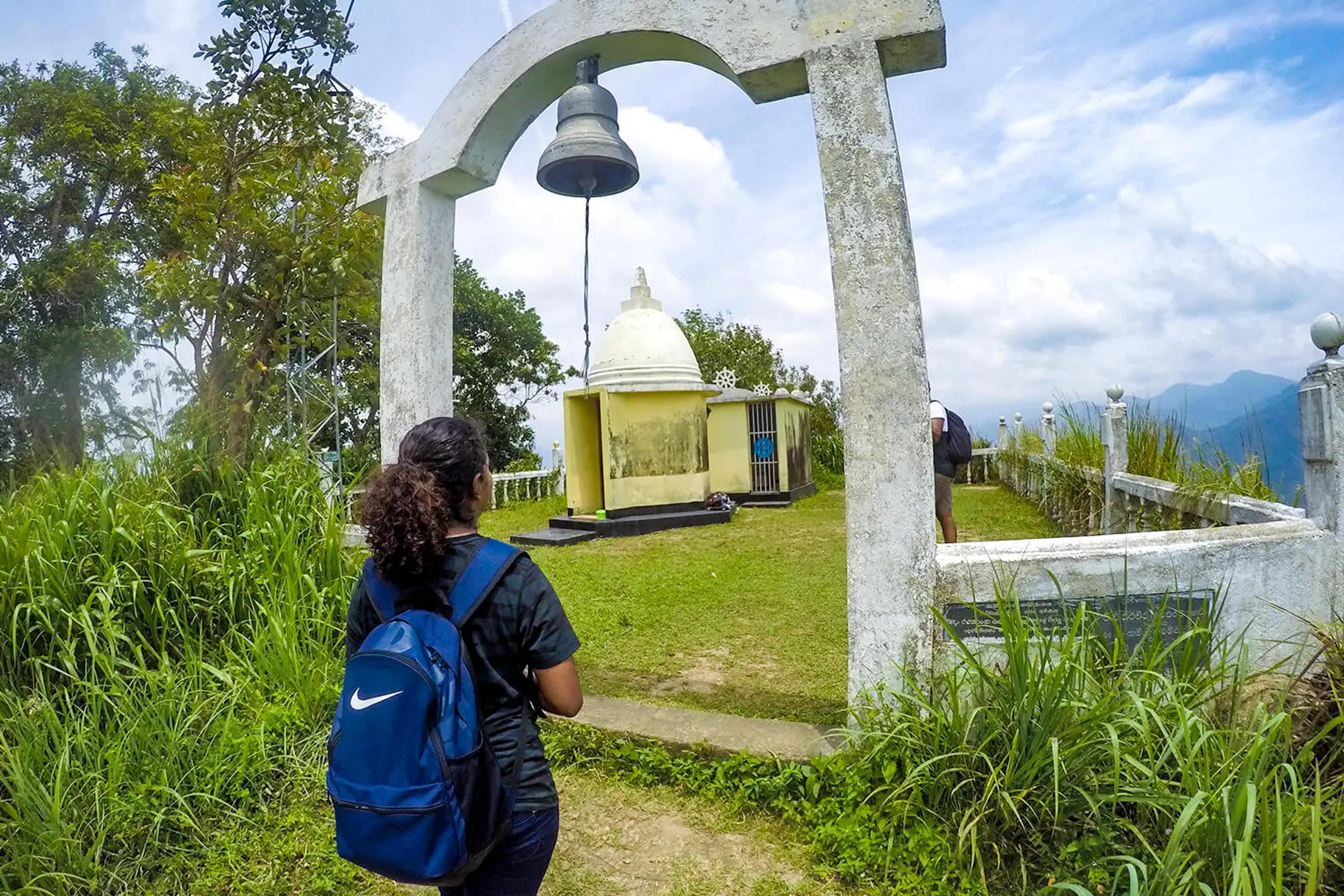
Quite a bit stepping upwards through the Maana grass, are the remains of an old forest retreat used by reclusive monks. This is known to be the “Bathalegala Bauddhaloka Temple” built in 1997. There is a small Stupa along with a shrine room and a huge bell at the entrance which we all rang taking turns on our way up and down!
Further downwards, there is an abandoned cave under a massive overhanging rock which can shelter around 10-12 people on a rainy day. The Northern view point is led to by the trail on to your left from the campsite. This viewpoint has more spacious vicinity. Main attractions include the Alagalla mountain peak, the Knuckles mountain range, Urakanda on the left, the Kadugannawa town, the Colombo-Kandy main road and the Central plateau.
Heading back down
After having some snacks and relaxing on a flat rock for about half an hour, we decided to head back downwards. We decided to take the same route we climbed up to descend too.
The climb downhill was much tedious because many of us stumbled over some rocks and roots. As the path downwards is a slope, there is a high chance of slipping as well. Back on our way down, we reminisced the good moments we had and certainly felt that the climb from the Hathgampola temple itself was worth it rather than only hiking from the trail-point!
A definite, one day climb which would leave you mesmerized by the breathtaking views up from the Bible Rock!
Tips to remember
- The best time to hike would be from January to April.
- Avoid rainy days because it can be very slippery and dangerous and also according to the villagers, lightening hits the rock many times a day.
- Wear light and comfortable clothing such as a pair of tracks, a light coloured t-shirt and shoes with a good grip.
- Take binoculars to take a closer look at all the beautiful attractions.
- Start the hike as early as possible.
- Take protective head gear and sunscreen to minimize the sun burns.
- Make sure you buy everything you need before you start the hike at Hathgampala itself.
- There are no leech attacks.
- Carry a litre of water each and a few packets of biscuits. We took some marshmellows and it certainly gave a bit of extra energy too!
- Most importantly, make sure you bring all the polythene and plastic bottles back with you just as how you took them. Leave nothing, but footprints!